Seaport · Norway
AlesundNOAES
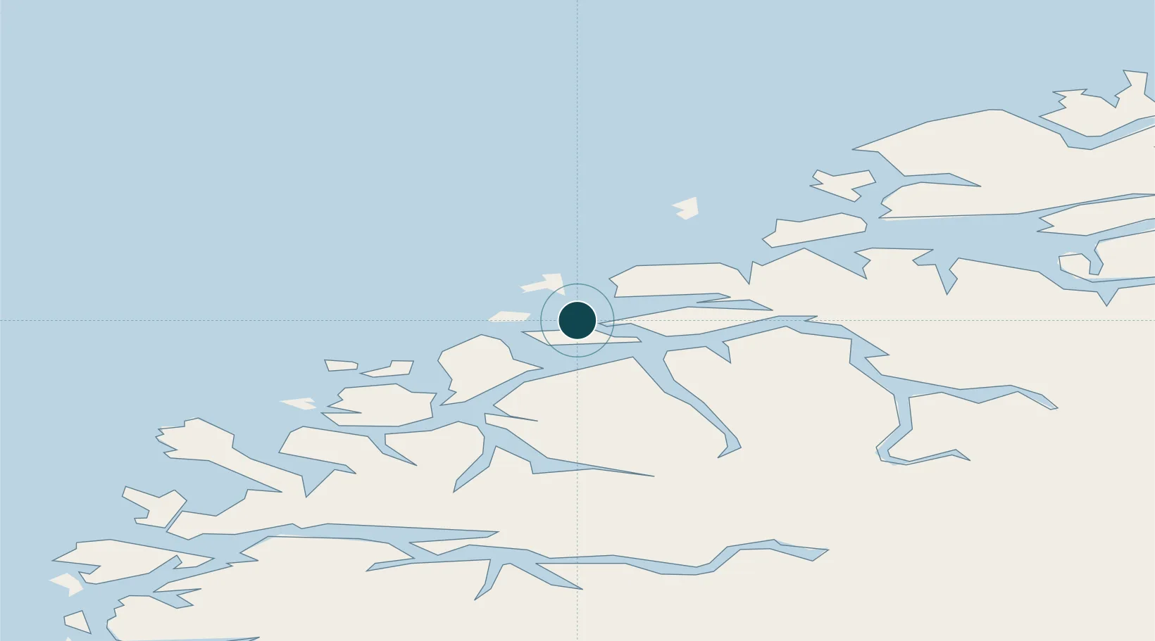
62.4667°, 6.1667°
4.9 m
Channel depth
4
Container terminals
59.0
Port liner connectivity
Channel & Berth Profile
Pilotage, Tugs & Services
Pilotage compulsoryYES
Pilotage availableYES
Pilotage advisableYES
Tug assistanceYES
Shore powerYES
Potable waterYES
MedicalYES
Garbage disposalYES
Facilities & Capabilities
ContainerYES
Ro-RoYES
Liquid bulkYES
Dry bulkYES
Oil terminal—
Break bulkYES
Dry dockNO
RepairsNO
BunkeringYES
Rail link—
Dangerous cargo—
ISPS security—
Harbour Specifications
Harbour size
Small
Harbour type
Coastal (Breakwater)
Shelter
Fair
Water body
Norwegian Sea; North Atlantic Ocean
Tidal range
2 m
Overhead limit
Yes
Pilotage
Yes
Liner Connectivity
59
PLSCI
Port Liner Shipping Connectivity Index for Alesund, as published by UNCTAD for the latest available quarter. Higher values indicate stronger scheduled liner-shipping integration.
Shown relative to the highest per-port PLSCI in the dataset (1,657.9).
Location
Container Terminals · 4
BRING TERMINAL FLATHOLMEN ALESUND
FLAT BRING CARGO AS
TYRHOLM & FARSTAD TERMINAL FLATHOLMEN ALESUND
FLTF TYRHOLM & FARSTAD AS
FRIGOCARE TERMINAL ALESUND
FRI FRIGOCARE ALESUND AS
SKUTVIKA TERMINAL ALESUND
SKUTVI TYRHOLM & FARSTAD AS
Nearby Logistics Neighbours
Ports
- 1Hareid13 km
- 2Orstav30 km
- 3Moldtustranda32 km
- 4Molde59 km
- 5Haroysund62 km
Cities
- 1Langevåg - Sula5 km
- 2Valderøy6 km
- 3Fiskarstrand6 km
- 4Gjøsundet8 km
- 5Godøya8 km
Airports
- 1Ålesund Airport11 km
- 2Ørsta-Volda Airport, Hovden32 km
- 3Molde Airport, Årø64 km
- 4Sandane Airport, Anda71 km
- 5Kristiansund Airport, Kvernberget111 km
Trade Zones
- 1Gothenburg Boundless Customs Warehouse615 km
- 2Jönköping Free Zone682 km
- 3Freeport of Copenhagen- Nordhavn835 km
- 4MTS Malmö Transport and Spedition859 km
- 5Freeport of Kiel934 km
DatabookThe Record of Consolidated Knowledge
Norway beyond logistics?