Transport Functions
Port
Road
Hub Profile
Region
15
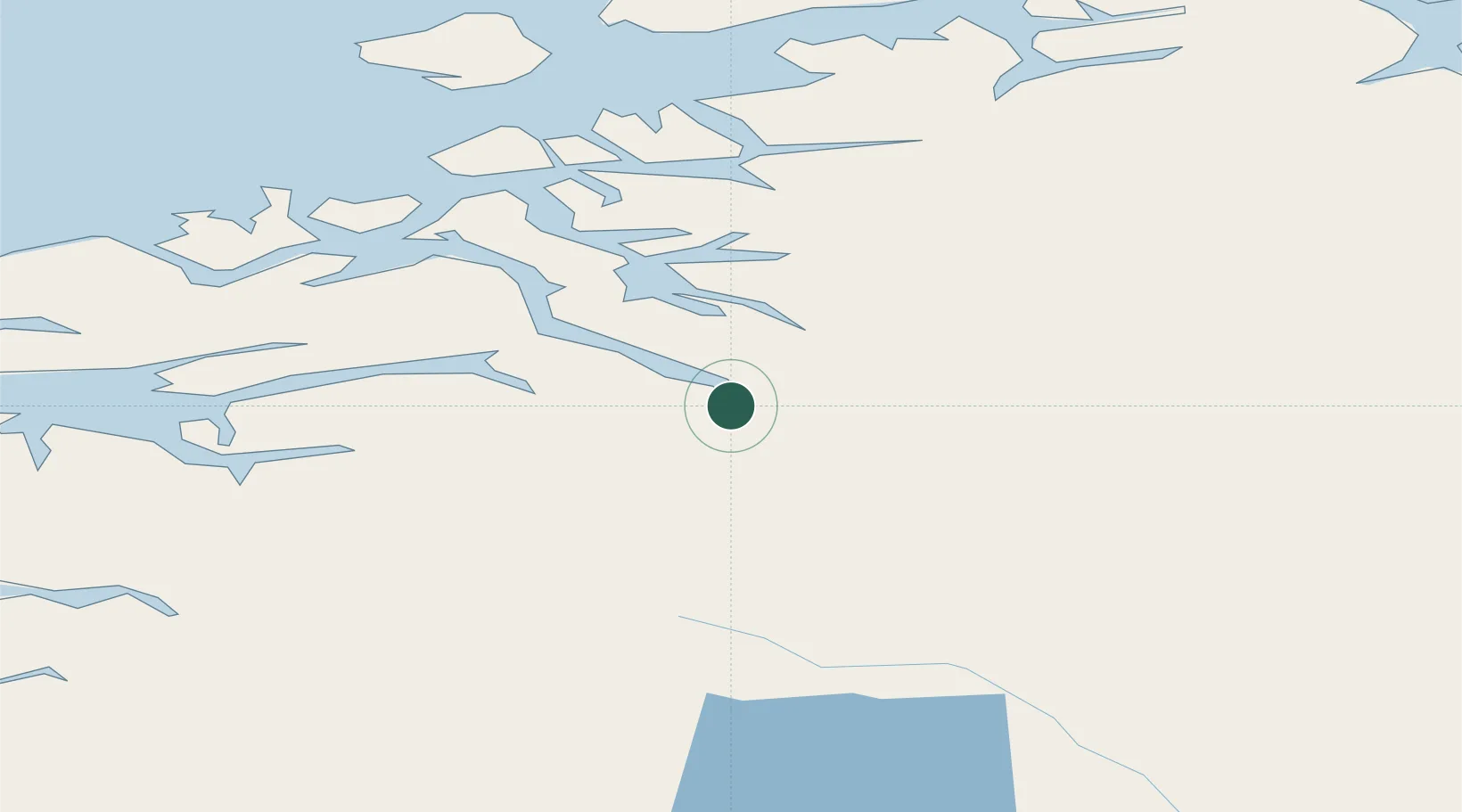
Location
Nearby Logistics Neighbours
Cities
- 1Todal18 km
- 2Raudsand29 km
- 3Vistdal32 km
- 4Surnadal36 km
- 5Torjulvågen38 km
Ports
- 1Andalsnes46 km
- 2Kristiansund65 km
- 3Molde71 km
- 4Haroysund85 km
- 5Alesund124 km
Airports
- 1Kristiansund Airport, Kvernberget62 km
- 2Molde Airport, Årø66 km
- 3Ålesund Airport125 km
- 4Ørland Airport126 km
- 5Ørsta-Volda Airport, Hovden139 km
Trade Zones
DatabookThe Record of Consolidated Knowledge
Norway beyond logistics?