Medium airport · Norway
Kristiansund Airport, KvernbergetENKB
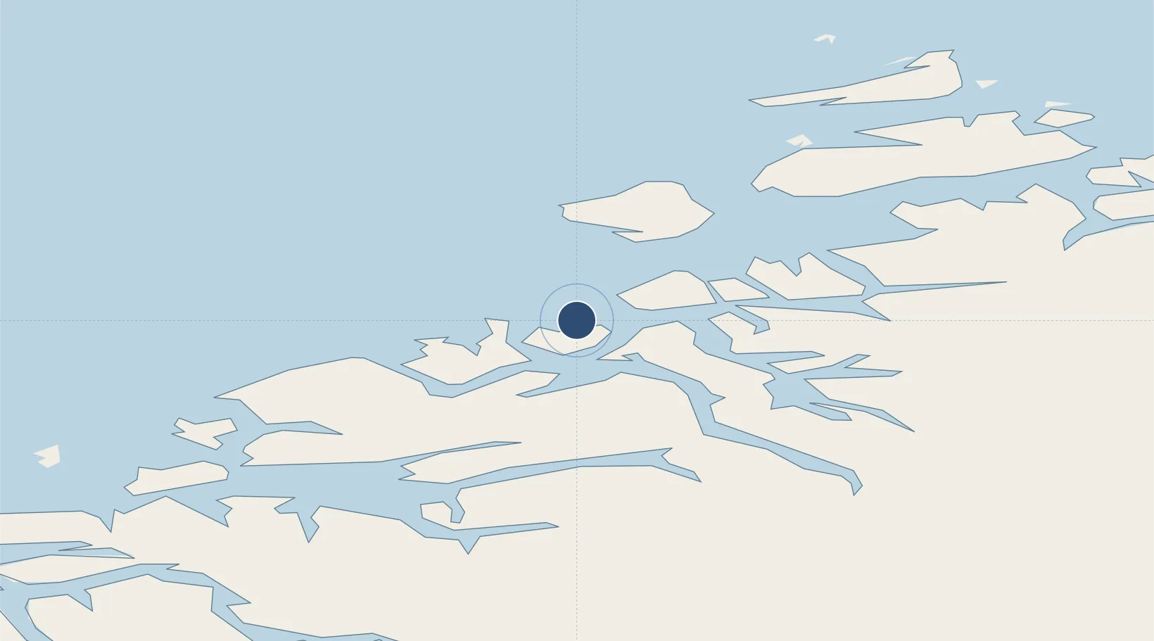
63.1118°, 7.8245°
7,841 ft
Longest runway
1
Runways
204 ft
Elevation
Runway & Layout

Radio Frequencies
TWR
118.3 MHz
Navaids
KVB VOR-DME Kvernberget 113.80 MHz
Runways · 1
| Runway | Dimensions | Surface | True heading | Lit |
|---|---|---|---|---|
| 07/25 | 7,841 × 148ft | Asphalt | 072° | ✓ |
Airport Specifications
IATA code
KSU
ICAO code
ENKB
Airport class
Medium airport
Scheduled service
Yes
Runway surface
Asphalt
Served city
Kvernberget
Location
Nearby Logistics Neighbours
Airports
- 1Molde Airport, Årø50 km
- 2Ålesund Airport106 km
- 3Ørland Airport110 km
- 4Ørsta-Volda Airport, Hovden137 km
- 5Trondheim Airport, Værnes160 km
Cities
- 1Kristiansund5 km
- 2Averøy11 km
- 3Grip16 km
- 4Gjemnes17 km
- 5Halsa21 km
Ports
- 1Kristiansund4 km
- 2Haroysund50 km
- 3Molde54 km
- 4Sunndalsora60 km
- 5Andalsnes61 km
Trade Zones
- 1Gothenburg Boundless Customs Warehouse640 km
- 2Jönköping Free Zone686 km
- 3Freeport of Copenhagen- Nordhavn865 km
- 4MTS Malmö Transport and Spedition886 km
- 5Freeport of Kiel985 km
DatabookThe Record of Consolidated Knowledge
Norway beyond logistics?