Transport Functions
Road
Multimodal
Hub Profile
Place type
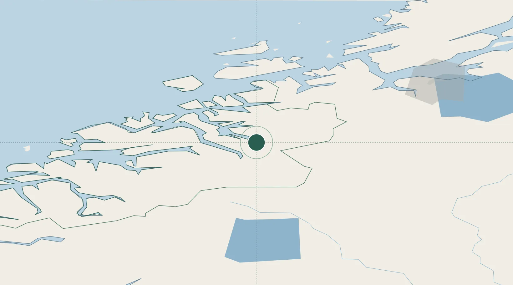
Populated place
Region
Møre og Romsdal
Time zone
Europe/Oslo
Elevation
80 m
Location
Nearby Logistics Neighbours
Cities
- 1Sunndalsøra18 km
- 2Surnadal19 km
- 3Torjulvågen29 km
- 4Raudsand30 km
- 5Halsa36 km
Ports
- 1Sunndalsora17 km
- 2Kristiansund59 km
- 3Andalsnes59 km
- 4Molde79 km
- 5Haroysund89 km
Airports
- 1Kristiansund Airport, Kvernberget55 km
- 2Molde Airport, Årø74 km
- 3Ørland Airport108 km
- 4Trondheim Airport, Værnes133 km
- 5Ålesund Airport135 km
Trade Zones
DatabookThe Record of Consolidated Knowledge
Norway beyond logistics?