Channel & Berth Profile
Pilotage, Tugs & Services
Pilotage compulsoryYES
Pilotage advisableYES
Tug assistanceYES
Salvage tugsYES
Potable waterYES
Diesel bunkersYES
MedicalYES
Garbage disposalYES
Facilities & Capabilities
ContainerYES
Ro-RoYES
Liquid bulkYES
Dry bulkYES
Oil terminalNO
Break bulkYES
Dry dockNO
RepairsNO
BunkeringYES
Rail linkYES
Dangerous cargo—
ISPS security—
Harbour Specifications
Harbour size
Small
Harbour type
Coastal (Natural)
Shelter
Excellent
Water body
Norwegian Sea; North Atlantic Ocean
Tidal range
2 m
Overhead limit
Yes
Pilotage
Yes
Liner Connectivity
10.9
PLSCI
Port Liner Shipping Connectivity Index for Kristiansund, as published by UNCTAD for the latest available quarter. Higher values indicate stronger scheduled liner-shipping integration.
Shown relative to the highest per-port PLSCI in the dataset (1,657.9).
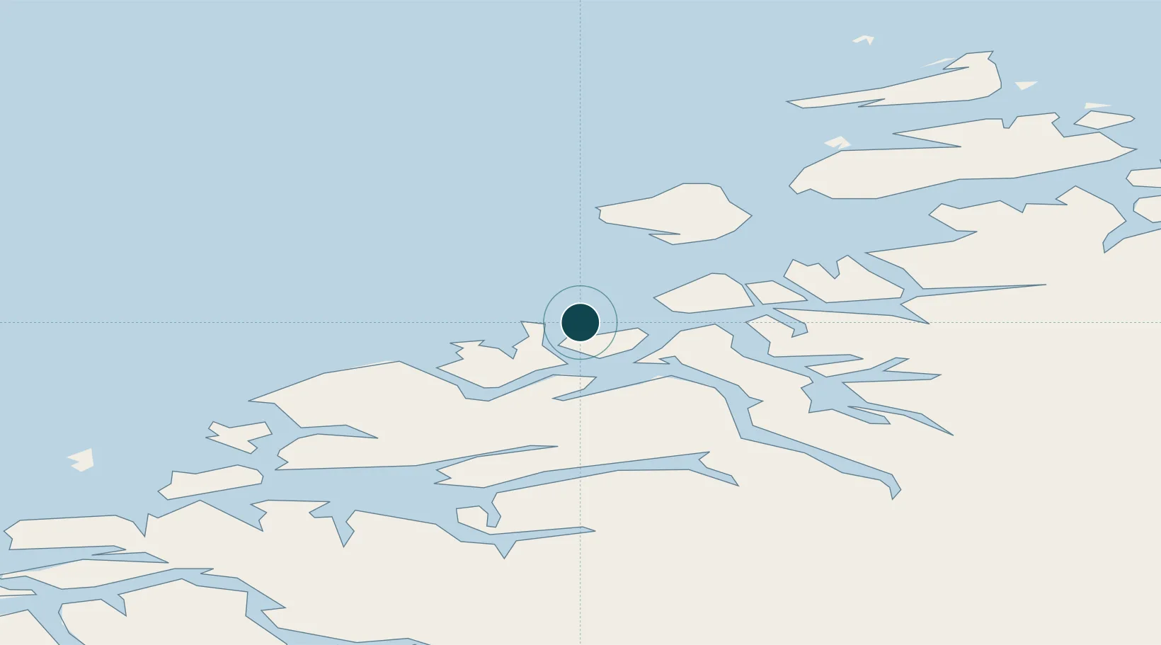
Location
Nearby Logistics Neighbours
Ports
- 1Haroysund47 km
- 2Molde51 km
- 3Andalsnes61 km
- 4Sunndalsora63 km
- 5Alesund108 km
Cities
- 1Averøy8 km
- 2Grip13 km
- 3Gjemnes16 km
- 4Ramsvika25 km
- 5Visnes - Eide25 km
Airports
- 1Kristiansund Airport, Kvernberget4 km
- 2Molde Airport, Årø48 km
- 3Ålesund Airport103 km
- 4Ørland Airport113 km
- 5Ørsta-Volda Airport, Hovden134 km
Trade Zones
- 1Gothenburg Boundless Customs Warehouse641 km
- 2Jönköping Free Zone689 km
- 3Freeport of Copenhagen- Nordhavn867 km
- 4MTS Malmö Transport and Spedition888 km
- 5Freeport of Kiel986 km
DatabookThe Record of Consolidated Knowledge
Norway beyond logistics?