Transport Functions
Port
Road
Hub Profile
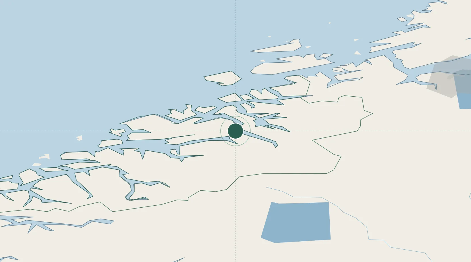
Place type
Locality
Region
Møre og Romsdal
Population
286
Time zone
Europe/Oslo
Elevation
1 m
Location
Nearby Logistics Neighbours
Cities
- 1Vistdal16 km
- 2Torjulvågen18 km
- 3Gjemnes25 km
- 4Halsa25 km
- 5Sunndalsøra29 km
Ports
- 1Sunndalsora28 km
- 2Kristiansund37 km
- 3Andalsnes37 km
- 4Molde50 km
- 5Haroysund59 km
Airports
- 1Kristiansund Airport, Kvernberget34 km
- 2Molde Airport, Årø45 km
- 3Ålesund Airport107 km
- 4Ørland Airport122 km
- 5Ørsta-Volda Airport, Hovden128 km
Trade Zones
DatabookThe Record of Consolidated Knowledge
Norway beyond logistics?