Large airport · Norway
Ålesund AirportENAL
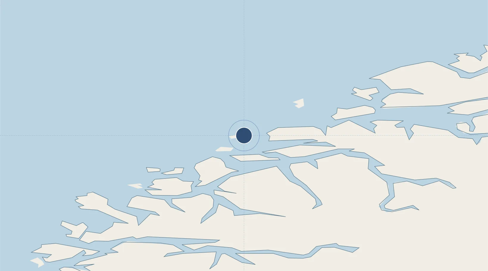
62.5604°, 6.1108°
7,592 ft
Longest runway
1
Runways
69 ft
Elevation
Runway & Layout

Radio Frequencies
ATIS
128.65 MHz
TWR
119.85 MHz
Navaids
VGA NDB Vigra 355 kHz
VIA TACAN Vigra 112.40 MHz
VIG VOR-DME Vigra 115.80 MHz
Runways · 1
| Runway | Dimensions | Surface | True heading | Lit |
|---|---|---|---|---|
| 06/24 | 7,592 × 148ft | Asphalt | 065° | ✓ |
Airport Specifications
IATA code
AES
ICAO code
ENAL
Airport class
Large airport
Scheduled service
Yes
Runway surface
Asphalt
Served city
Ålesund
Location
Nearby Logistics Neighbours
Airports
- 1Ørsta-Volda Airport, Hovden42 km
- 2Molde Airport, Årø62 km
- 3Sandane Airport, Anda81 km
- 4Kristiansund Airport, Kvernberget106 km
- 5Florø Airport123 km
Ports
- 1Alesund11 km
- 2Hareid21 km
- 3Moldtustranda37 km
- 4Orstav41 km
- 5Haroysund57 km
Trade Zones
- 1Gothenburg Boundless Customs Warehouse625 km
- 2Jönköping Free Zone691 km
- 3Freeport of Copenhagen- Nordhavn846 km
- 4MTS Malmö Transport and Spedition869 km
- 5Freeport of Kiel944 km
DatabookThe Record of Consolidated Knowledge
Norway beyond logistics?