UN/LOCODE hub · Norway
NOSRP

Stord

59.7500°, 5.4833°
2
Transport functions

Transport Functions

Port
Airport
UN/LOCODE

Hub Profile

Region
12
GeoNames

Location

Location of NOSRP
Natural Earth 10m (public domain) · 12 · NOSRP · 59.75, 5.48GoogleOSMYandex

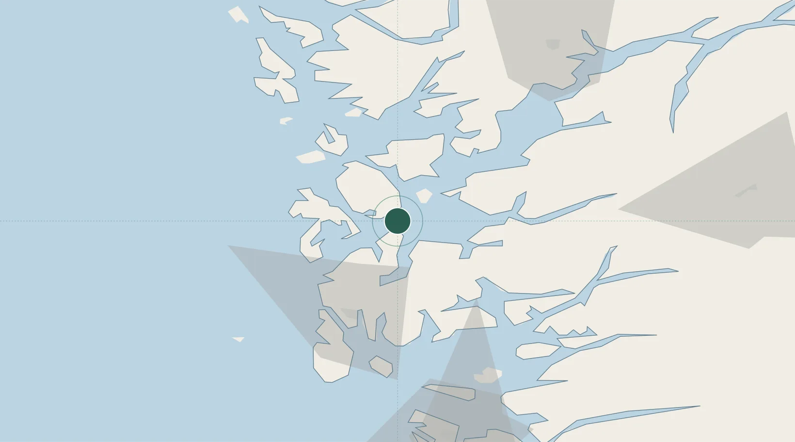
Nearby Logistics Neighbours

Cities
  1. 1Stord base0 km
  2. 2Leirvik2 km
  3. 3Valevåg6 km
  4. 4Rubbestadneset13 km
  5. 5Halsnøy14 km
Nearest neighbours — logibook spatial index (haversine) over the source coordinates
Ports
  1. 1Leirvik1 km
  2. 2Mosterhamn8 km
  3. 3Husnes21 km
  4. 4Haugesund40 km
  5. 5Sauda50 km
Nearest neighbours — logibook spatial index (haversine) over the source coordinates
Airports
  1. 1Stord Airport, Sørstokken9 km
  2. 2Haugesund Airport, Karmøy48 km
  3. 3Bergen Airport, Flesland62 km
  4. 4Stavanger Airport, Sola98 km
  5. 5Sogndal Airport, Haukåsen181 km
Nearest neighbours — logibook spatial index (haversine) over the source coordinates
Trade Zones
  1. 1Gothenburg Boundless Customs Warehouse430 km
  2. 2Freeport of Kiel665 km
  3. 3North Eastern Enterprise Zone681 km
  4. 4Freeport of Cuxhaven (Freihafen Cuxhaven)685 km
  5. 5Tees Valley Enterprise Zone699 km
Nearest neighbours — logibook spatial index (haversine) over the source coordinates
DatabookThe Record of Consolidated Knowledge
Norway beyond logistics?
Browse databook

All Sources

LocationsUN/LOCODE
UN/LOCODE — free
Portsthe NGA World Port Index
Public domain (US gov)
AirportsOurAirports
Public domain
Trade Zonesthe World Bank SEZ database
CC BY 4.0
Trade ZonesOpen Zone Map
CC BY
← Norway locations