Transport Functions
Port
Hub Profile
Place type
Populated place
Region
Vestland
Population
733
Time zone
Europe/Oslo
Elevation
3 m
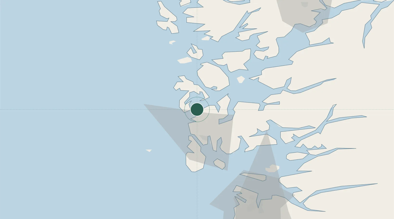
Location
Nearby Logistics Neighbours
Cities
- 1Bømlo3 km
- 2Sveio9 km
- 3Mølstrevåg11 km
- 4Valevåg15 km
- 5Osnes - Vindafjord18 km
Ports
- 1Mosterhamn12 km
- 2Leirvik21 km
- 3Haugesund23 km
- 4Kopervik37 km
- 5Akrahamn39 km
Airports
- 1Stord Airport, Sørstokken20 km
- 2Haugesund Airport, Karmøy30 km
- 3Bergen Airport, Flesland75 km
- 4Stavanger Airport, Sola85 km
- 5Førde Airport, Bringeland199 km
Trade Zones
DatabookThe Record of Consolidated Knowledge
Norway beyond logistics?