Transport Functions
Port
Road
Hub Profile
Place type
Provincial seat
Region
Vestland
Population
14,126
Time zone
Europe/Oslo
Elevation
8 m
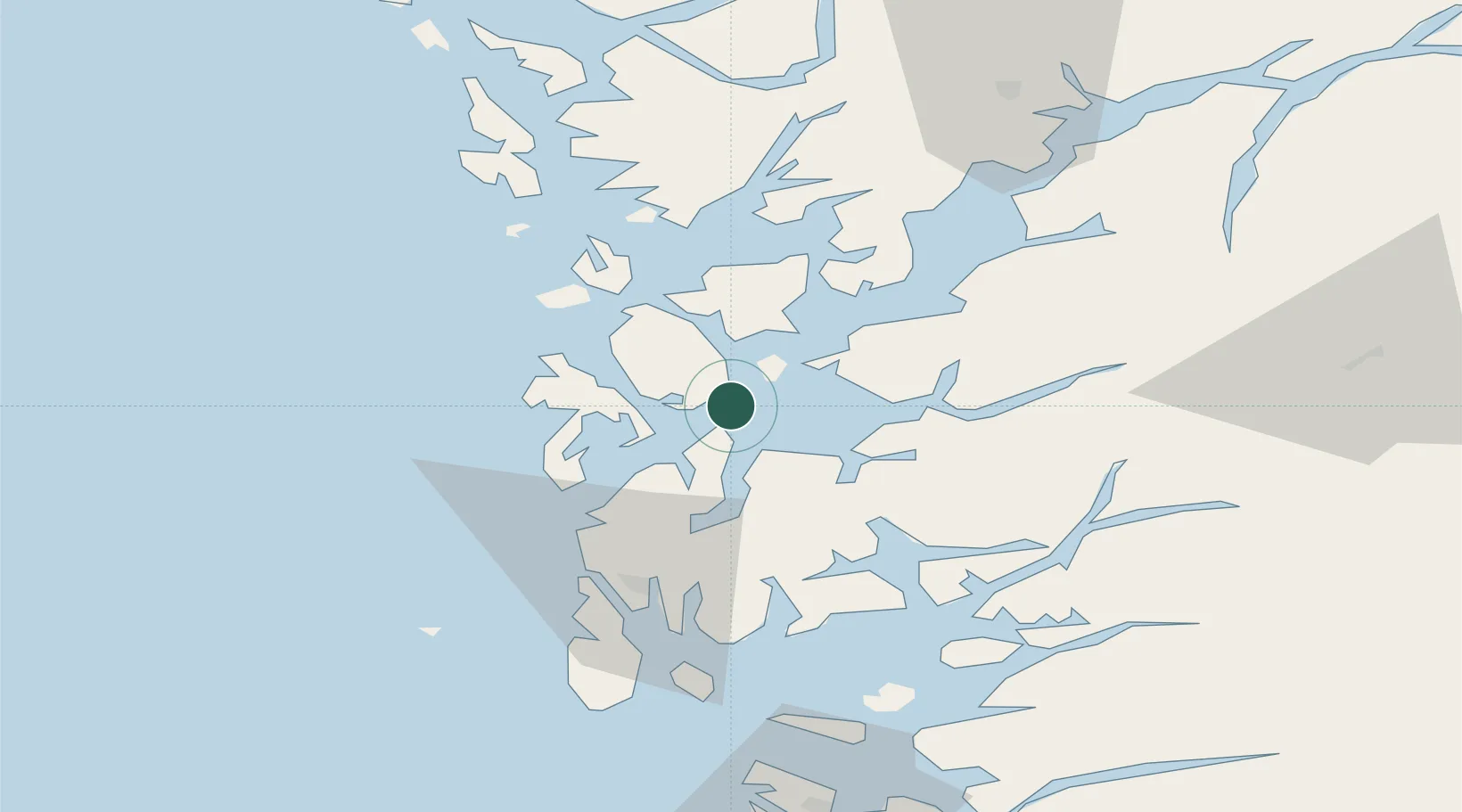
Location
Nearby Logistics Neighbours
Cities
- 1Stord base2 km
- 2Stord2 km
- 3Valevåg8 km
- 4Halsnøy13 km
- 5Rubbestadneset14 km
Ports
- 1Mosterhamn10 km
- 2Husnes19 km
- 3Haugesund42 km
- 4Sauda49 km
- 5Kopervik55 km
Airports
Trade Zones
DatabookThe Record of Consolidated Knowledge
Norway beyond logistics?