Seaport · Norway

MehamnfjordenNOMEH

71.0413°, 27.8353°
Mehamnfjorden is also a UN/LOCODE logistics hub →

Channel & Berth Profile

NGA World Port Index

Facilities & Capabilities

ContainerNO
Ro-RoYES
Liquid bulkNO
Dry bulkNO
Oil terminal
Break bulkYES
Dry dock
Repairs
Bunkering
Rail link
Dangerous cargo
ISPS security
NGA World Port Index

Harbour Specifications
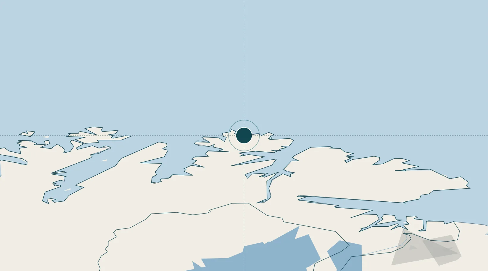
Water body
Barents Sea; Arctic Ocean
NGA World Port Index

Location

Location of NOMEH
Natural Earth 10m (public domain) · Finnmark · NOMEH · 71.04, 27.84GoogleOSMYandex

Nearby Logistics Neighbours

Ports
  1. 1Kjollefjorden21 km
  2. 2Berlevag51 km
  3. 3Honningsvag69 km
  4. 4Batsfjord83 km
  5. 5Vadso129 km
Nearest neighbours — logibook spatial index (haversine) over the source coordinates
Cities
  1. 1Gamvik15 km
  2. 2Kjøllefjord22 km
  3. 3Berlevåg51 km
  4. 4Kongsfjord65 km
  5. 5Honningsvåg68 km
Nearest neighbours — logibook spatial index (haversine) over the source coordinates
Airports
  1. 1Mehamn Airport1 km
  2. 2Berlevåg Airport47 km
  3. 3Honningsvåg Airport, Valan67 km
  4. 4Båtsfjord Airport84 km
  5. 5Vadsø Airport132 km
Nearest neighbours — logibook spatial index (haversine) over the source coordinates
Trade Zones
  1. 1Murmansk Special Economic Zone306 km
  2. 2Oulu Port Free Warehouse Area680 km
  3. 3Free Zone of Lappeenranta1112 km
  4. 4Port of Hamina-Kotka1176 km
  5. 5Turku Free Zone1205 km
Nearest neighbours — logibook spatial index (haversine) over the source coordinates
DatabookThe Record of Consolidated Knowledge
Norway beyond logistics?
Browse databook

All Sources

Portsthe NGA World Port Index
Public domain (US gov)
AirportsOurAirports
Public domain
LocationsUN/LOCODE
UN/LOCODE — free
Trade Zonesthe World Bank SEZ database
CC BY 4.0
Trade ZonesOpen Zone Map
CC BY
← Norway ports