UN/LOCODE hub · Norway
NOKJF

Kjøllefjord

70.9333°, 27.3333°
2
Transport functions

Transport Functions

Port
Road
Kjøllefjord is also a profiled seaport →
UN/LOCODE

Hub Profile

Region
20
GeoNames

Location

Location of NOKJF
Natural Earth 10m (public domain) · 20 · NOKJF · 70.93, 27.33GoogleOSMYandex

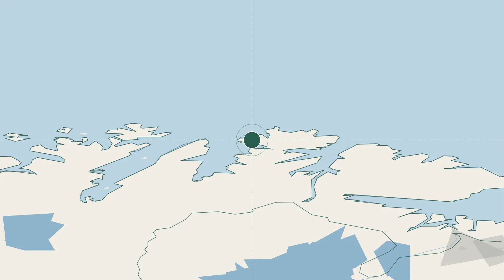
Nearby Logistics Neighbours

Cities
  1. 1Mehamn21 km
  2. 2Gamvik36 km
  3. 3Honningsvåg50 km
  4. 4Kuvika54 km
  5. 5Skarsvåg58 km
Nearest neighbours — logibook spatial index (haversine) over the source coordinates
Ports
  1. 1Mehamnfjorden22 km
  2. 2Honningsvag51 km
  3. 3Berlevag65 km
  4. 4Batsfjord94 km
  5. 5Vadso131 km
Nearest neighbours — logibook spatial index (haversine) over the source coordinates
Airports
  1. 1Mehamn Airport21 km
  2. 2Honningsvåg Airport, Valan50 km
  3. 3Berlevåg Airport62 km
  4. 4Båtsfjord Airport94 km
  5. 5Lakselv Airport, Banak130 km
Nearest neighbours — logibook spatial index (haversine) over the source coordinates
Trade Zones
  1. 1Murmansk Special Economic Zone310 km
  2. 2Oulu Port Free Warehouse Area665 km
  3. 3Free Zone of Lappeenranta1101 km
  4. 4Port of Hamina-Kotka1164 km
  5. 5Turku Free Zone1189 km
Nearest neighbours — logibook spatial index (haversine) over the source coordinates
DatabookThe Record of Consolidated Knowledge
Norway beyond logistics?
Browse databook

All Sources

LocationsUN/LOCODE
UN/LOCODE — free
Portsthe NGA World Port Index
Public domain (US gov)
AirportsOurAirports
Public domain
Trade Zonesthe World Bank SEZ database
CC BY 4.0
Trade ZonesOpen Zone Map
CC BY
← Norway locations