Transport Functions
Port
Airport
Hub Profile
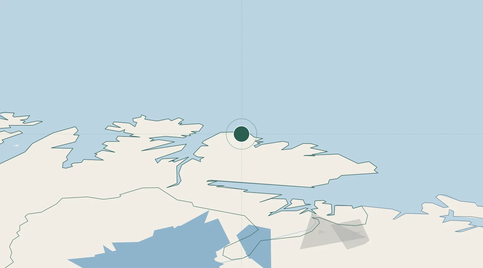
Place type
Provincial seat
Region
Finnmark
Population
906
Time zone
Europe/Oslo
Elevation
13 m
Location
Nearby Logistics Neighbours
Cities
- 1Kongsfjord17 km
- 2Båtsfjord33 km
- 3Gamvik38 km
- 4Leirpollen50 km
- 5Mehamn50 km
Ports
- 1Batsfjord34 km
- 2Mehamnfjorden51 km
- 3Kjollefjorden65 km
- 4Vadso90 km
- 5Vardo91 km
Airports
- 1Berlevåg Airport3 km
- 2Båtsfjord Airport35 km
- 3Mehamn Airport50 km
- 4Vardø Airport, Svartnes91 km
- 5Vadsø Airport92 km
Trade Zones
- 1Murmansk Special Economic Zone260 km
- 2Oulu Port Free Warehouse Area669 km
- 3Free Zone of Lappeenranta1092 km
- 4Port of Hamina-Kotka1158 km
- 5Turku Free Zone1198 km
DatabookThe Record of Consolidated Knowledge
Norway beyond logistics?