Transport Functions
Port
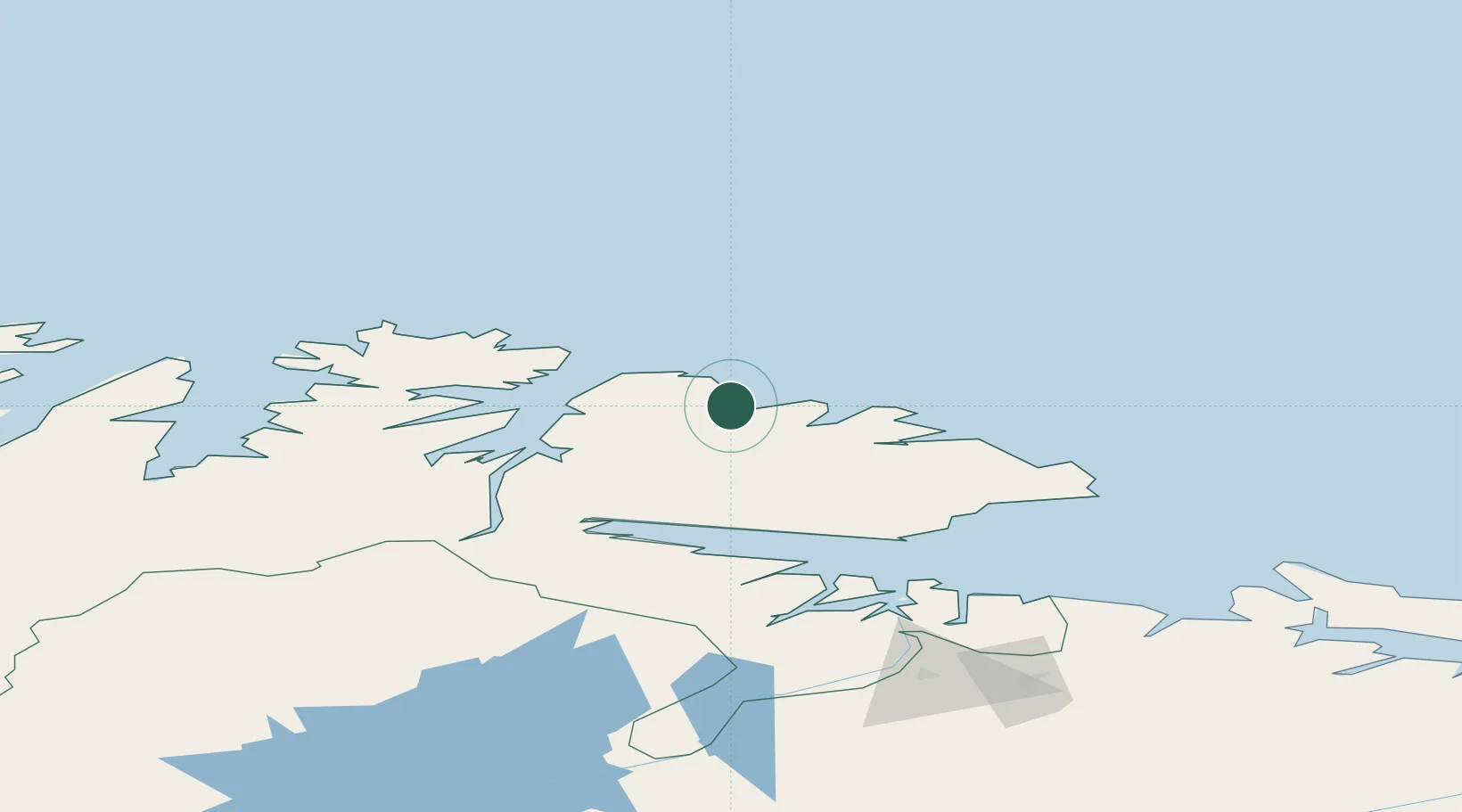
Hub Profile
Place type
Populated place
Region
Finnmark
Time zone
Europe/Oslo
Elevation
20 m
Location
Nearby Logistics Neighbours
Cities
- 1Berlevåg17 km
- 2Båtsfjord17 km
- 3Leirpollen43 km
- 4Gamvik54 km
- 5Mehamn65 km
Ports
- 1Berlevag18 km
- 2Batsfjord18 km
- 3Mehamnfjorden65 km
- 4Vadso73 km
- 5Vardo76 km
Airports
- 1Båtsfjord Airport19 km
- 2Berlevåg Airport20 km
- 3Mehamn Airport65 km
- 4Vadsø Airport75 km
- 5Vardø Airport, Svartnes76 km
Trade Zones
- 1Murmansk Special Economic Zone243 km
- 2Oulu Port Free Warehouse Area656 km
- 3Free Zone of Lappeenranta1077 km
- 4Port of Hamina-Kotka1145 km
- 5Turku Free Zone1186 km
DatabookThe Record of Consolidated Knowledge
Norway beyond logistics?