Channel & Berth Profile
Pilotage, Tugs & Services
Pilotage compulsoryYES
Pilotage availableYES
Tug assistanceNO
Salvage tugsNO
Potable waterYES
MedicalYES
Facilities & Capabilities
ContainerNO
Ro-RoNO
Liquid bulkYES
Dry bulkNO
Oil terminal—
Break bulkYES
Dry dock—
RepairsNO
BunkeringYES
Rail link—
Dangerous cargo—
ISPS security—
Harbour Specifications
Harbour size
Small
Harbour type
Coastal (Natural)
Shelter
Fair
Water body
Barents Sea; Arctic Ocean
Overhead limit
No
Pilotage
Yes
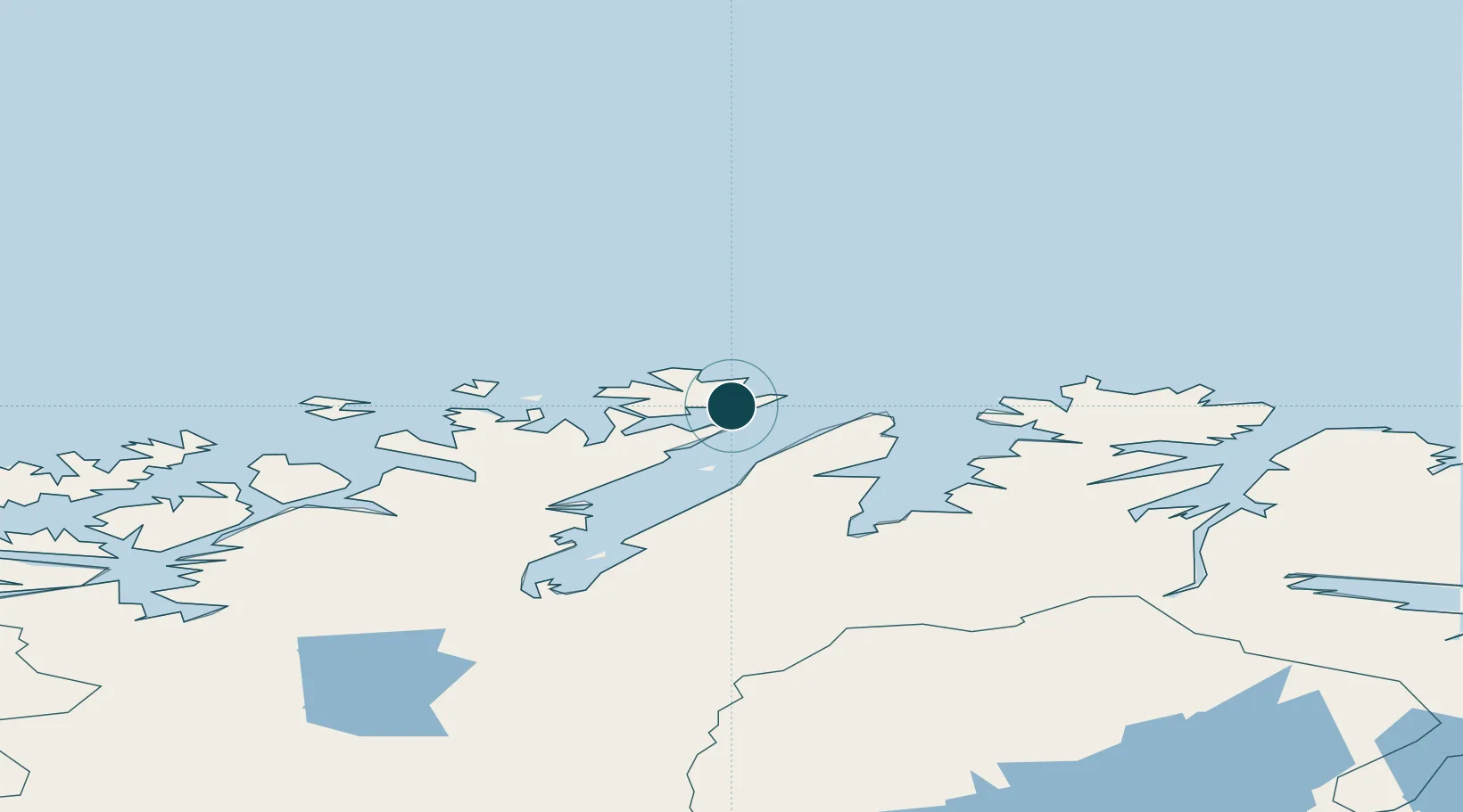
Location
Nearby Logistics Neighbours
Ports
- 1Kjollefjorden50 km
- 2Mehamnfjorden69 km
- 3Kvalsund89 km
- 4Hammerfest91 km
- 5Berlevag116 km
Airports
- 1Honningsvåg Airport, Valan3 km
- 2Mehamn Airport68 km
- 3Hammerfest Airport90 km
- 4Lakselv Airport, Banak108 km
- 5Berlevåg Airport113 km
Trade Zones
- 1Murmansk Special Economic Zone352 km
- 2Oulu Port Free Warehouse Area666 km
- 3Free Zone of Lappeenranta1110 km
- 4Port of Hamina-Kotka1170 km
- 5Turku Free Zone1184 km
DatabookThe Record of Consolidated Knowledge
Norway beyond logistics?