UN/LOCODE hub · Norway
NOMEH

Mehamn

71.0333°, 27.8333°
779
Population
3
Transport functions

Transport Functions

Port
Road
Airport
Mehamn is also a profiled seaport →
UN/LOCODE

Hub Profile

Place type
Provincial seat
GeoNames
Region
Finnmark
GeoNames
Population
779
GeoNames
Time zone
Europe/Oslo
GeoNames
Elevation
40 m
GeoNames

Location

Location of NOMEH
Natural Earth 10m (public domain) · Finnmark · NOMEH · 71.03, 27.83GoogleOSMYandex

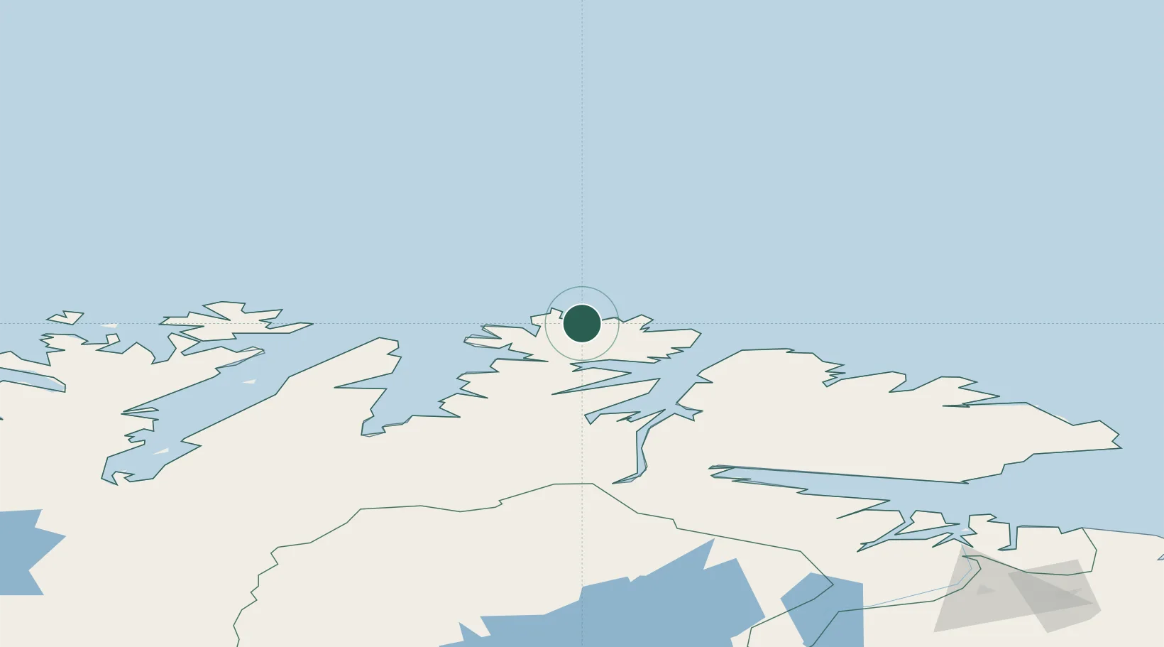
Nearby Logistics Neighbours

Cities
  1. 1Gamvik15 km
  2. 2Kjøllefjord21 km
  3. 3Berlevåg50 km
  4. 4Kongsfjord65 km
  5. 5Honningsvåg68 km
Nearest neighbours — logibook spatial index (haversine) over the source coordinates
Ports
  1. 1Kjollefjorden20 km
  2. 2Berlevag50 km
  3. 3Honningsvag68 km
  4. 4Batsfjord82 km
  5. 5Vadso128 km
Nearest neighbours — logibook spatial index (haversine) over the source coordinates
Airports
  1. 1Mehamn Airport1 km
  2. 2Berlevåg Airport47 km
  3. 3Honningsvåg Airport, Valan67 km
  4. 4Båtsfjord Airport83 km
  5. 5Vadsø Airport131 km
Nearest neighbours — logibook spatial index (haversine) over the source coordinates
Trade Zones
  1. 1Murmansk Special Economic Zone305 km
  2. 2Oulu Port Free Warehouse Area679 km
  3. 3Free Zone of Lappeenranta1111 km
  4. 4Port of Hamina-Kotka1175 km
  5. 5Turku Free Zone1204 km
Nearest neighbours — logibook spatial index (haversine) over the source coordinates
DatabookThe Record of Consolidated Knowledge
Norway beyond logistics?
Browse databook

All Sources

LocationsUN/LOCODE
UN/LOCODE — free
LocationsGeoNames
CC BY 4.0
Portsthe NGA World Port Index
Public domain (US gov)
AirportsOurAirports
Public domain
Trade Zonesthe World Bank SEZ database
CC BY 4.0
Trade ZonesOpen Zone Map
CC BY
← Norway locations