Medium airport · Norway
Mehamn AirportENMH
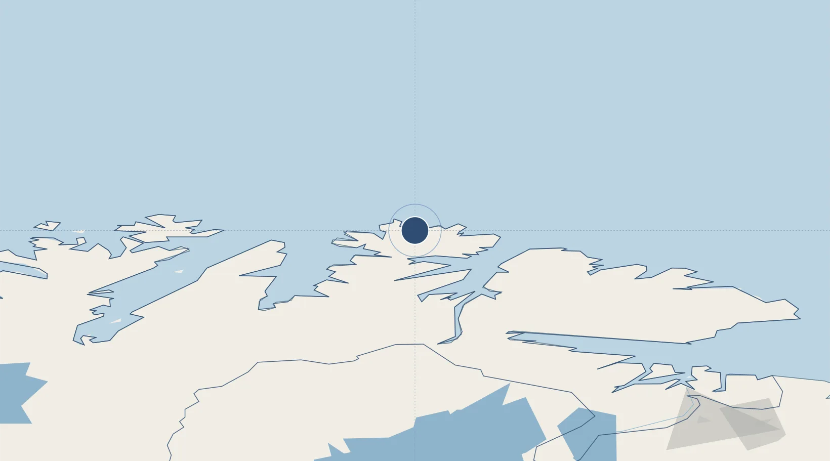
71.0297°, 27.8267°
2,887 ft
Longest runway
1
Runways
39 ft
Elevation
Runway & Layout

Radio Frequencies
AFIS
121.2 MHz
Runways · 1
| Runway | Dimensions | Surface | True heading | Lit |
|---|---|---|---|---|
| 17/35 | 2,887 × 98ft | Asphalt | 170° | ✓ |
Airport Specifications
IATA code
MEH
ICAO code
ENMH
Airport class
Medium airport
Scheduled service
Yes
Runway surface
Asphalt
Served city
Mehamn
Location
Nearby Logistics Neighbours
Airports
- 1Berlevåg Airport47 km
- 2Honningsvåg Airport, Valan67 km
- 3Båtsfjord Airport83 km
- 4Vadsø Airport131 km
- 5Vardø Airport, Svartnes140 km
Cities
- 1Mehamn1 km
- 2Gamvik16 km
- 3Kjøllefjord21 km
- 4Berlevåg50 km
- 5Kongsfjord65 km
Ports
- 1Mehamnfjorden1 km
- 2Kjollefjorden20 km
- 3Berlevag50 km
- 4Honningsvag68 km
- 5Batsfjord82 km
Trade Zones
- 1Murmansk Special Economic Zone305 km
- 2Oulu Port Free Warehouse Area678 km
- 3Free Zone of Lappeenranta1111 km
- 4Port of Hamina-Kotka1175 km
- 5Turku Free Zone1203 km
DatabookThe Record of Consolidated Knowledge
Norway beyond logistics?