Transport Functions
Port
Road
Airport
Hub Profile
Place type
Provincial seat
Region
Finnmark
Population
2,484
Time zone
Europe/Oslo
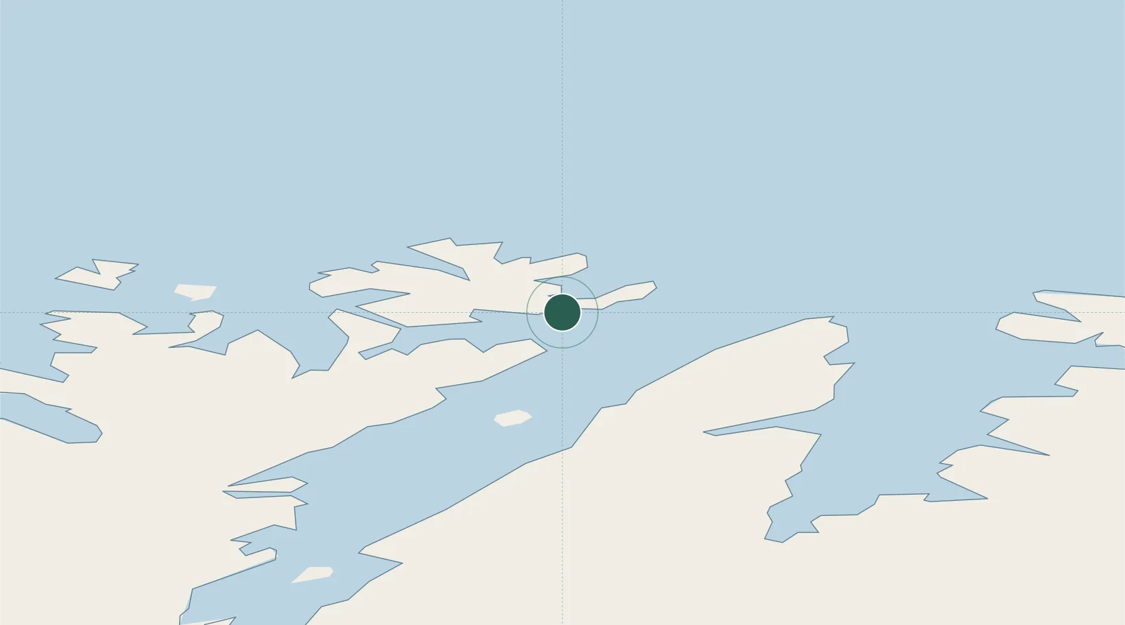
Location
Nearby Logistics Neighbours
Ports
- 1Kjollefjorden50 km
- 2Mehamnfjorden68 km
- 3Kvalsund89 km
- 4Hammerfest90 km
- 5Berlevag115 km
Airports
- 1Honningsvåg Airport, Valan5 km
- 2Mehamn Airport68 km
- 3Hammerfest Airport90 km
- 4Lakselv Airport, Banak106 km
- 5Berlevåg Airport112 km
Trade Zones
- 1Murmansk Special Economic Zone351 km
- 2Oulu Port Free Warehouse Area664 km
- 3Free Zone of Lappeenranta1108 km
- 4Port of Hamina-Kotka1168 km
- 5Turku Free Zone1182 km
DatabookThe Record of Consolidated Knowledge
Norway beyond logistics?