Transport Functions
Port
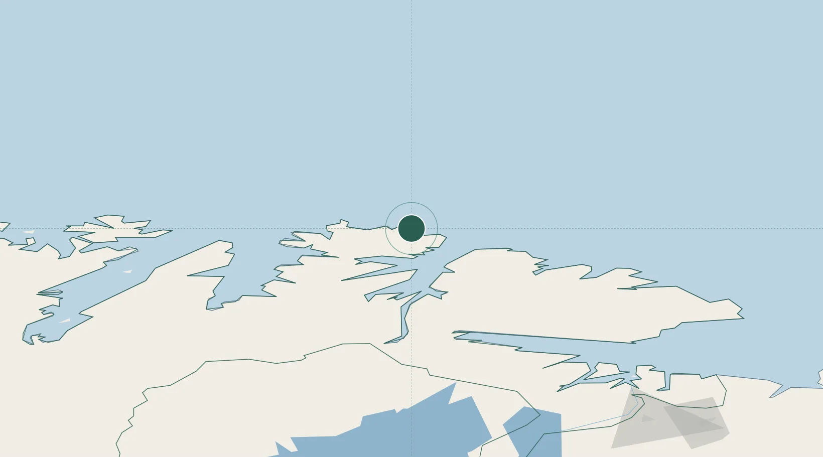
Hub Profile
Place type
Populated place
Region
Finnmark
Time zone
Europe/Oslo
Elevation
5 m
Location
Nearby Logistics Neighbours
Cities
- 1Mehamn15 km
- 2Kjøllefjord36 km
- 3Berlevåg38 km
- 4Kongsfjord54 km
- 5Leirpollen67 km
Ports
- 1Mehamnfjorden15 km
- 2Kjollefjorden35 km
- 3Berlevag38 km
- 4Batsfjord71 km
- 5Honningsvag84 km
Airports
- 1Mehamn Airport16 km
- 2Berlevåg Airport35 km
- 3Båtsfjord Airport73 km
- 4Honningsvåg Airport, Valan82 km
- 5Vadsø Airport124 km
Trade Zones
- 1Murmansk Special Economic Zone296 km
- 2Oulu Port Free Warehouse Area683 km
- 3Free Zone of Lappeenranta1113 km
- 4Port of Hamina-Kotka1178 km
- 5Turku Free Zone1210 km
DatabookThe Record of Consolidated Knowledge
Norway beyond logistics?