Transport Functions
Port
Road
Hub Profile
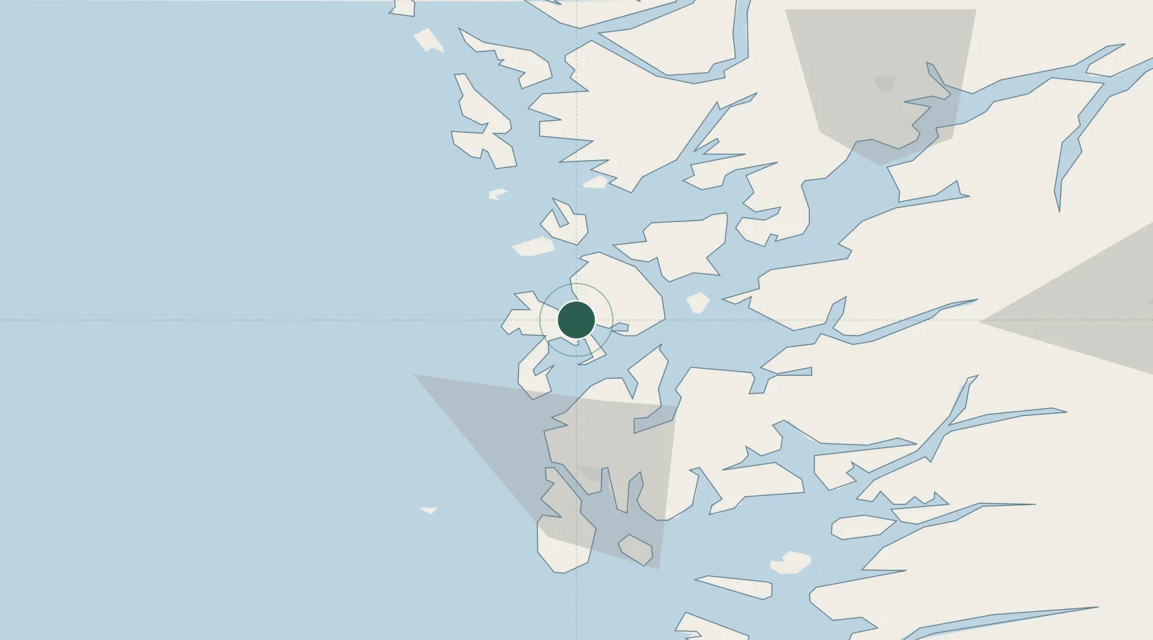
Place type
Populated place
Region
Vestland
Population
1,264
Time zone
Europe/Oslo
Elevation
18 m
Location
Nearby Logistics Neighbours
Cities
- 1Bremnes6 km
- 2Fitjar13 km
- 3Stord base13 km
- 4Stord13 km
- 5Leirvik14 km
Ports
- 1Mosterhamn13 km
- 2Leirvik14 km
- 3Husnes29 km
- 4Haugesund43 km
- 5Kopervik58 km
Airports
- 1Stord Airport, Sørstokken4 km
- 2Haugesund Airport, Karmøy51 km
- 3Bergen Airport, Flesland55 km
- 4Stavanger Airport, Sola105 km
- 5Førde Airport, Bringeland179 km
Trade Zones
DatabookThe Record of Consolidated Knowledge
Norway beyond logistics?