Seaport · Norway
LarvikNOLAR
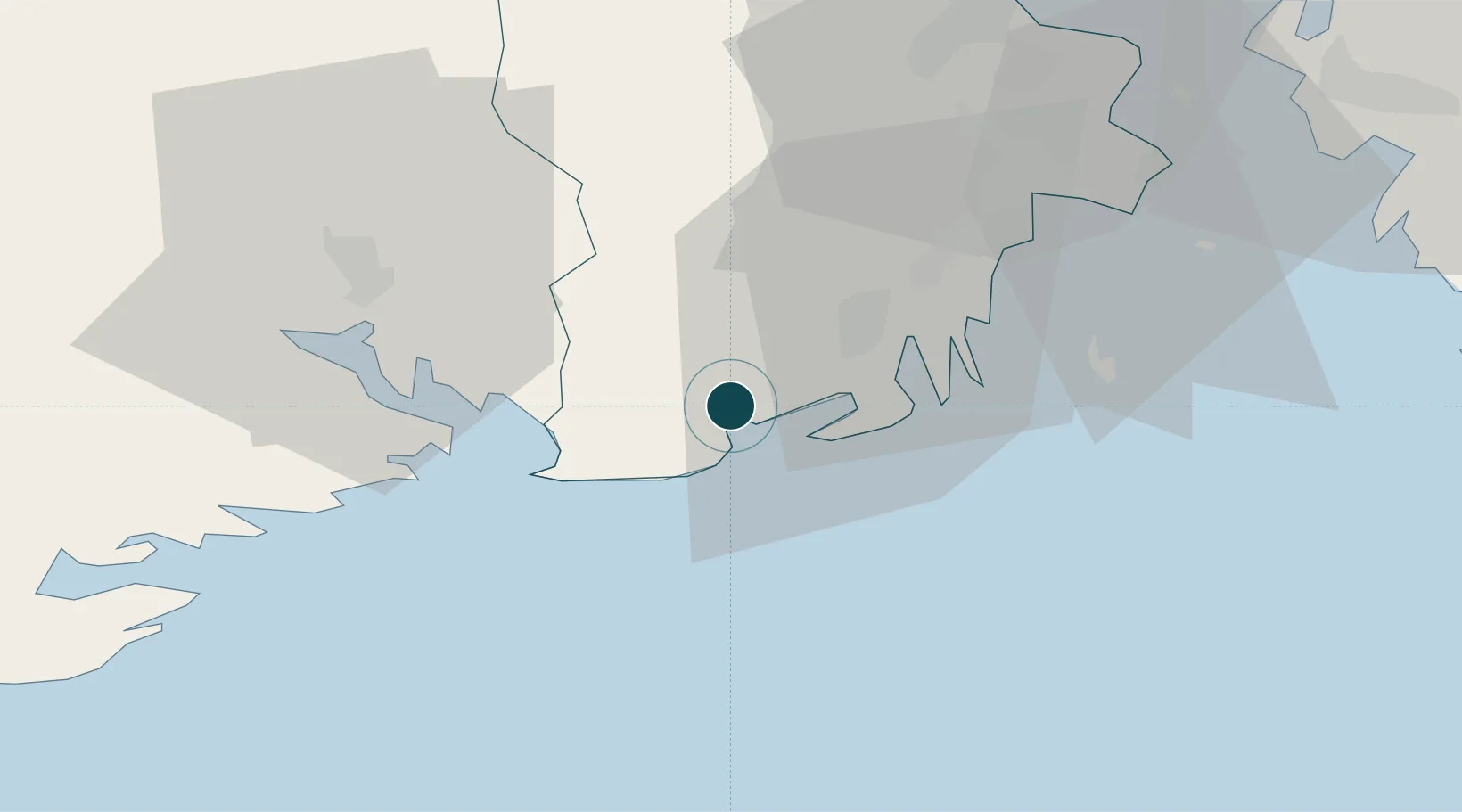
59.0381°, 10.0311°
23.2 m
Channel depth
1
Container terminals
43.8
Port liner connectivity
Channel & Berth Profile
Pilotage, Tugs & Services
Pilotage compulsoryYES
Pilotage availableYES
Local assistanceYES
Tug assistanceYES
Salvage tugsNO
Shore powerYES
Potable waterYES
Diesel bunkersYES
MedicalYES
Garbage disposalYES
Facilities & Capabilities
ContainerYES
Ro-RoYES
Liquid bulkNO
Dry bulkYES
Oil terminalNO
Break bulkYES
Dry dock—
RepairsNO
BunkeringYES
Rail linkYES
Dangerous cargo—
ISPS security—
Harbour Specifications
Harbour size
Small
Harbour type
Coastal (Breakwater)
Shelter
Good
Water body
Skagerrak; North Atlantic Ocean
Tidal range
1 m
Overhead limit
Yes
Pilotage
Yes
Liner Connectivity
43.8
PLSCI
Port Liner Shipping Connectivity Index for Larvik, as published by UNCTAD for the latest available quarter. Higher values indicate stronger scheduled liner-shipping integration.
Shown relative to the highest per-port PLSCI in the dataset (1,657.9).
Location
Container Terminals · 1
LARVIK CONTAINER TERMINAL
NOLCT GREENPORT SERVICES AS
Nearby Logistics Neighbours
Ports
- 1Sandefjorden14 km
- 2Brevik19 km
- 3Porsgrunn25 km
- 4Skien30 km
- 5Tonsberg33 km
Cities
- 1Stavern6 km
- 2Svartebukt12 km
- 3Nevlunghamn12 km
- 4Thorøya14 km
- 5Sandefjord14 km
Airports
- 1Sandefjord Airport, Torp21 km
- 2Skien Airport31 km
- 3Moss Airport, Rygge57 km
- 4Notodden Airport75 km
- 5Oslo-Gardermoen International Airport142 km
Trade Zones
DatabookThe Record of Consolidated Knowledge
Norway beyond logistics?