Large airport · Norway

Oslo-Gardermoen International AirportENGM
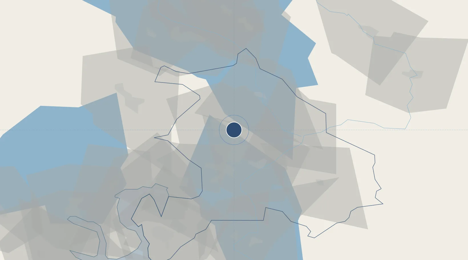
60.1939°, 11.1004°
11,811 ft
Longest runway
2
Runways
681 ft
Elevation

Runway & Layout

Oslo-Gardermoen International Airport runway & taxiway layout
Runway & taxiway layout — OpenStreetMap (ODbL) / OurAirports

Radio Frequencies

ATIS
126.125 MHz
TWR
118.3 MHz
GND
121.925 MHz
CLD
121.6 MHz
CLNC DEL
APP
119.975 MHz
DIR
131.35 MHz
DIRECTOR
MISC
131.975 MHz
DE ICING
OPS
29.38 MHz
WINGOPS
PMSV
134.175 MHz
PMSV METRO
OurAirports

Navaids

BGU NDB Bergerud 316 kHz
GRM VOR-DME Gardermoen 115.95 MHz
OPA NDB Oppaker 334 kHz
SLB NDB Solberg 414 kHz
SOK NDB Soknen 387 kHz
OurAirports

Runways · 2

RunwayDimensions SurfaceTrue headingLit
01L/19R 11,811 × 148ft Asphalt 016°
01R/19L 9,678 × 148ft Asphalt 016°
OurAirports

Airport Specifications

IATA code
OSL
OurAirports
ICAO code
ENGM
OurAirports
Airport class
Large airport
OurAirports
Scheduled service
Yes
OurAirports
Runway surface
Asphalt
OurAirports
Served city
Oslo (Gardermoen)
OurAirports

Location

Location of ENGM
Natural Earth 10m (public domain) · Akershus · ENGM · 60.19, 11.10GoogleOSMYandex

Nearby Logistics Neighbours

Airports
  1. 1Moss Airport, Rygge92 km
  2. 2Torsby Airport105 km
  3. 3Sandefjord Airport, Torp122 km
  4. 4Notodden Airport126 km
  5. 5Hagfors Airport139 km
Nearest neighbours — logibook spatial index (haversine) over the source coordinates
Cities
  1. 1Frogner20 km
  2. 2Årnes22 km
  3. 3Rud27 km
  4. 4Strømmen28 km
  5. 5Lørenskog30 km
Nearest neighbours — logibook spatial index (haversine) over the source coordinates
Ports
  1. 1Oslo38 km
  2. 2Fagerstrand59 km
  3. 3Drobak65 km
  4. 4Drammen70 km
  5. 5Svelvik75 km
Nearest neighbours — logibook spatial index (haversine) over the source coordinates
Trade Zones
  1. 1Gothenburg Boundless Customs Warehouse280 km
  2. 2Jönköping Free Zone320 km
  3. 3Stockholm Free Zone403 km
  4. 4Freeport of Copenhagen- Nordhavn506 km
  5. 5MTS Malmö Transport and Spedition524 km
Nearest neighbours — logibook spatial index (haversine) over the source coordinates
DatabookThe Record of Consolidated Knowledge
Norway beyond logistics?
Browse databook

All Sources

AirportsOurAirports
Public domain
Portsthe NGA World Port Index
Public domain (US gov)
LocationsUN/LOCODE
UN/LOCODE — free
Trade Zonesthe World Bank SEZ database
CC BY 4.0
Trade ZonesOpen Zone Map
CC BY
InfrastructureOpenStreetMap
ODbL 1.0
← Norway airports