Seaport · Norway
BrevikNOBVK
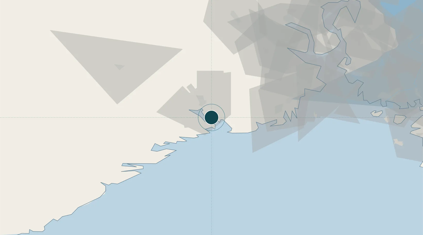
59.0667°, 9.7000°
11.0 m
Channel depth
1
Container terminals
39.8
Port liner connectivity
Channel & Berth Profile
Pilotage, Tugs & Services
Pilotage compulsoryYES
Pilotage availableYES
Pilotage advisableYES
Tug assistanceYES
Potable waterYES
MedicalYES
Facilities & Capabilities
Container—
Ro-Ro—
Liquid bulk—
Dry bulk—
Oil terminal—
Break bulk—
Dry dock—
RepairsNO
BunkeringYES
Rail linkYES
Dangerous cargo—
ISPS security—
Harbour Specifications
Harbour size
Small
Harbour type
Coastal (Natural)
Shelter
Good
Water body
Skagerrak; North Atlantic Ocean
Tidal range
1 m
Overhead limit
Yes
Pilotage
Yes
Liner Connectivity
39.8
PLSCI
Port Liner Shipping Connectivity Index for Brevik, as published by UNCTAD for the latest available quarter. Higher values indicate stronger scheduled liner-shipping integration.
Shown relative to the highest per-port PLSCI in the dataset (1,657.9).
Location
Container Terminals · 1
NORTH SEA TERMINAL BREVIK
NSB DFDS LOGISTICS
Nearby Logistics Neighbours
Ports
- 1Porsgrunn9 km
- 2Skien16 km
- 3Larvik19 km
- 4Kragero28 km
- 5Sandefjorden31 km
Cities
- 1Eidangerfjorden0 km
- 2Stathelle4 km
- 3Herøya7 km
- 4Langesund8 km
- 5Skjerkøya8 km
Airports
- 1Skien Airport15 km
- 2Sandefjord Airport, Torp35 km
- 3Notodden Airport62 km
- 4Moss Airport, Rygge71 km
- 5Kristiansand Airport134 km
Trade Zones
- 1Gothenburg Boundless Customs Warehouse195 km
- 2Jönköping Free Zone294 km
- 3Freeport of Copenhagen- Nordhavn411 km
- 4MTS Malmö Transport and Spedition435 km
- 5Freeport of Kiel527 km
DatabookThe Record of Consolidated Knowledge
Norway beyond logistics?