Large airport · Norway

Sandefjord Airport, TorpENTO
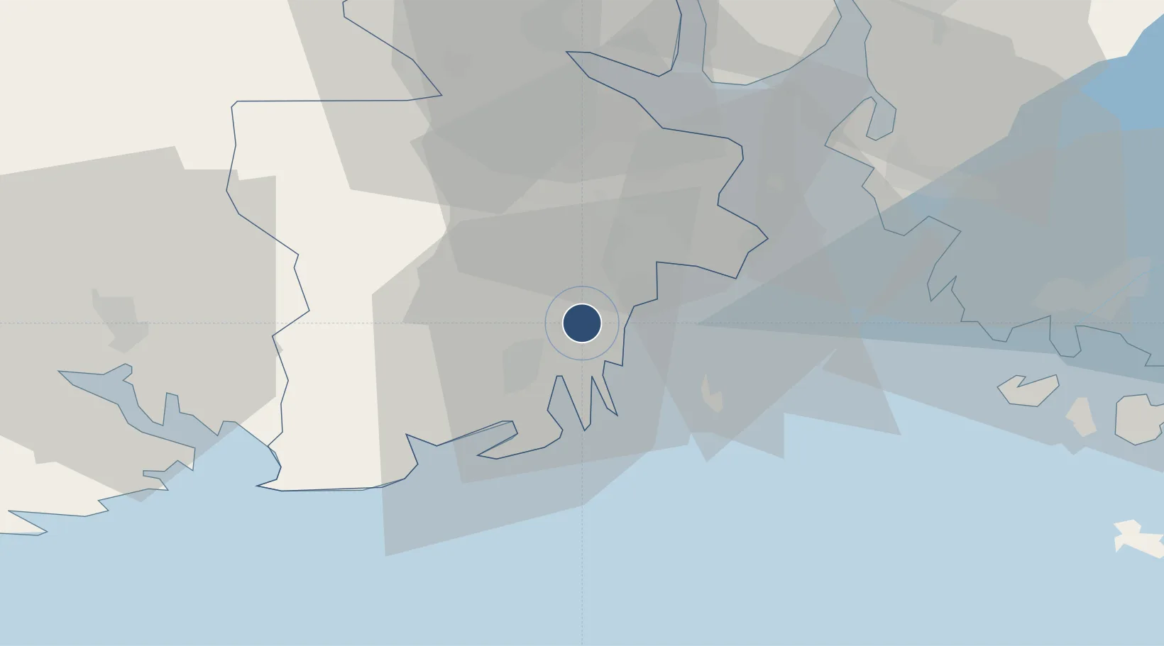
59.1867°, 10.2586°
9,675 ft
Longest runway
1
Runways
286 ft
Elevation

Runway & Layout

Sandefjord Airport, Torp runway & taxiway layout
Runway & taxiway layout — OpenStreetMap (ODbL) / OurAirports

Radio Frequencies

ATIS
119.075 MHz
TWR
118.65 MHz
GND
126.175 MHz
TCA
134.05 MHz
FARRIS TCA
OurAirports

Navaids

TOR VOR-DME Torp 113.85 MHz
OurAirports

Runways · 1

RunwayDimensions SurfaceTrue headingLit
18/36 9,675 × 148ft Asphalt 179°
OurAirports

Airport Specifications

IATA code
TRF
OurAirports
ICAO code
ENTO
OurAirports
Airport class
Large airport
OurAirports
Scheduled service
Yes
OurAirports
Runway surface
Asphalt
OurAirports
Served city
Sandefjord(Torp)
OurAirports

Location

Location of ENTO
Natural Earth 10m (public domain) · Vestfold · ENTO · 59.19, 10.26GoogleOSMYandex

Nearby Logistics Neighbours

Airports
  1. 1Moss Airport, Rygge37 km
  2. 2Skien Airport39 km
  3. 3Notodden Airport73 km
  4. 4Oslo-Gardermoen International Airport122 km
  5. 5Trollhättan-Vänersborg Airport154 km
Nearest neighbours — logibook spatial index (haversine) over the source coordinates
Cities
  1. 1Melsomvik5 km
  2. 2Kjøpmannskjær7 km
  3. 3Sandefjord8 km
  4. 4Thorøya10 km
  5. 5Tønsberg11 km
Nearest neighbours — logibook spatial index (haversine) over the source coordinates
Ports
  1. 1Sandefjorden10 km
  2. 2Tonsberg12 km
  3. 3Valloy15 km
  4. 4Larvik21 km
  5. 5Slagenstangen22 km
Nearest neighbours — logibook spatial index (haversine) over the source coordinates
Trade Zones
  1. 1Gothenburg Boundless Customs Warehouse188 km
  2. 2Jönköping Free Zone273 km
  3. 3Freeport of Copenhagen- Nordhavn411 km
  4. 4MTS Malmö Transport and Spedition433 km
  5. 5Stockholm Free Zone446 km
Nearest neighbours — logibook spatial index (haversine) over the source coordinates
DatabookThe Record of Consolidated Knowledge
Norway beyond logistics?
Browse databook

All Sources

AirportsOurAirports
Public domain
Portsthe NGA World Port Index
Public domain (US gov)
LocationsUN/LOCODE
UN/LOCODE — free
Trade Zonesthe World Bank SEZ database
CC BY 4.0
Trade ZonesOpen Zone Map
CC BY
InfrastructureOpenStreetMap
ODbL 1.0
← Norway airports