UN/LOCODE hub · Norway
NOTOY

Thorøya

59.1000°, 10.2333°
2
Transport functions

Transport Functions

Port
Road
UN/LOCODE

Hub Profile

Region
07
GeoNames

Location

Location of NOTOY
Natural Earth 10m (public domain) · 07 · NOTOY · 59.10, 10.23GoogleOSMYandex

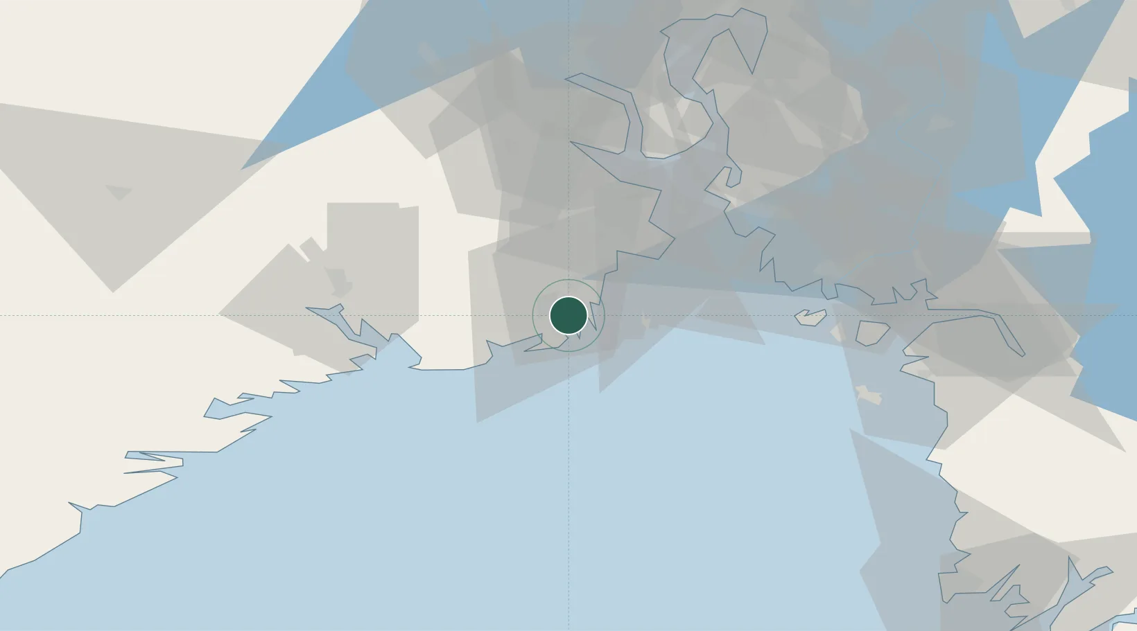
Nearby Logistics Neighbours

Cities
  1. 1Sandefjord2 km
  2. 2Kjøpmannskjær11 km
  3. 3Hvasser13 km
  4. 4Larvik13 km
  5. 5Melsomvik14 km
Nearest neighbours — logibook spatial index (haversine) over the source coordinates
Ports
  1. 1Sandefjorden0 km
  2. 2Larvik14 km
  3. 3Tonsberg21 km
  4. 4Valloy23 km
  5. 5Slagenstangen30 km
Nearest neighbours — logibook spatial index (haversine) over the source coordinates
Airports
  1. 1Sandefjord Airport, Torp10 km
  2. 2Skien Airport39 km
  3. 3Moss Airport, Rygge44 km
  4. 4Notodden Airport78 km
  5. 5Oslo-Gardermoen International Airport131 km
Nearest neighbours — logibook spatial index (haversine) over the source coordinates
Trade Zones
  1. 1Gothenburg Boundless Customs Warehouse180 km
  2. 2Jönköping Free Zone269 km
  3. 3Freeport of Copenhagen- Nordhavn402 km
  4. 4MTS Malmö Transport and Spedition425 km
  5. 5Stockholm Free Zone449 km
Nearest neighbours — logibook spatial index (haversine) over the source coordinates
DatabookThe Record of Consolidated Knowledge
Norway beyond logistics?
Browse databook

All Sources

LocationsUN/LOCODE
UN/LOCODE — free
Portsthe NGA World Port Index
Public domain (US gov)
AirportsOurAirports
Public domain
Trade Zonesthe World Bank SEZ database
CC BY 4.0
Trade ZonesOpen Zone Map
CC BY
← Norway locations