Channel & Berth Profile
Pilotage, Tugs & Services
Pilotage compulsoryYES
Pilotage availableYES
Pilotage advisableYES
Tug assistanceYES
Salvage tugsNO
Potable waterYES
Diesel bunkersYES
MedicalYES
Facilities & Capabilities
Container—
Ro-Ro—
Liquid bulk—
Dry bulk—
Oil terminal—
Break bulk—
Dry dockNO
RepairsNO
BunkeringYES
Rail linkYES
Dangerous cargo—
ISPS security—
Harbour Specifications
Harbour size
Small
Harbour type
River (Natural)
Shelter
Excellent
Water body
Skagerrak; North Atlantic Ocean
Tidal range
1 m
Overhead limit
Yes
Pilotage
Yes
Liner Connectivity
15.6
PLSCI
Port Liner Shipping Connectivity Index for Skien, as published by UNCTAD for the latest available quarter. Higher values indicate stronger scheduled liner-shipping integration.
Shown relative to the highest per-port PLSCI in the dataset (1,657.9).
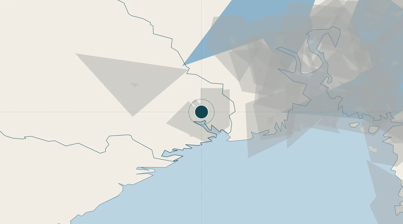
Location
Nearby Logistics Neighbours
Ports
- 1Porsgrunn7 km
- 2Brevik16 km
- 3Larvik30 km
- 4Sandefjorden38 km
- 5Kragero39 km
Airports
- 1Skien Airport3 km
- 2Sandefjord Airport, Torp37 km
- 3Notodden Airport46 km
- 4Moss Airport, Rygge70 km
- 5Oslo-Gardermoen International Airport139 km
Trade Zones
- 1Gothenburg Boundless Customs Warehouse210 km
- 2Jönköping Free Zone306 km
- 3Freeport of Copenhagen- Nordhavn427 km
- 4MTS Malmö Transport and Spedition451 km
- 5Freeport of Kiel542 km
DatabookThe Record of Consolidated Knowledge
Norway beyond logistics?