Medium airport · Norway

Moss Airport, RyggeENRY
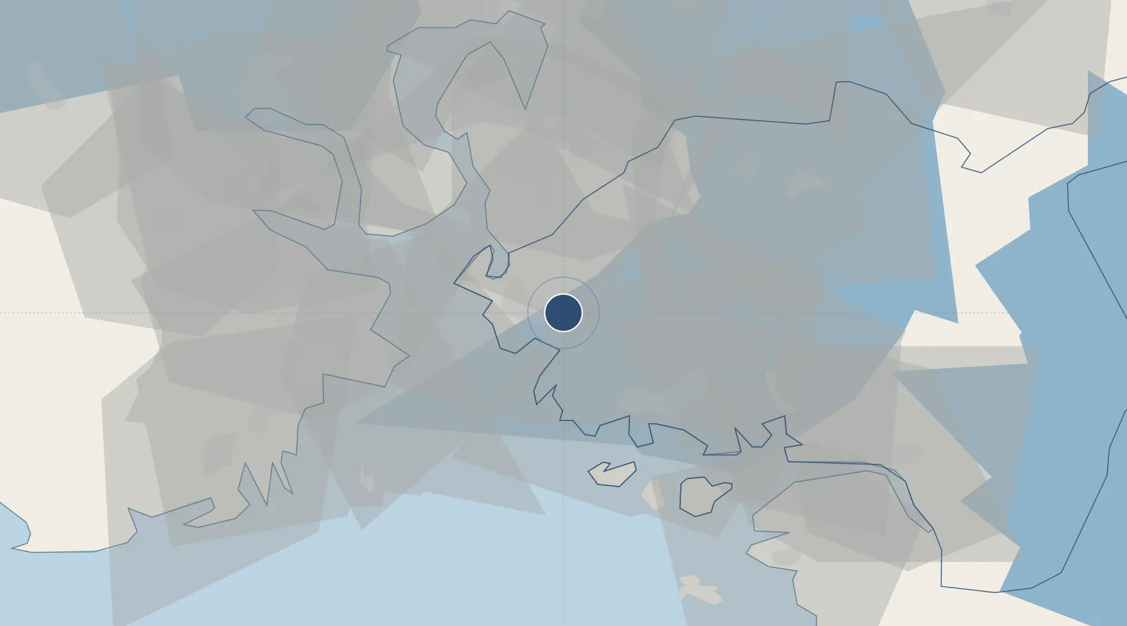
59.3788°, 10.7854°
8,012 ft
Longest runway
1
Runways
174 ft
Elevation

Runway & Layout

Moss Airport, Rygge runway & taxiway layout
Runway & taxiway layout — OpenStreetMap (ODbL) / OurAirports

Radio Frequencies

TWR
119.5 MHz
APP
122.1 MHz
ARR
120.3 MHz
ARRIVAL
OurAirports

Navaids

RG NDB Tune 381 kHz
RYG TACAN Rygge 113.50 MHz
YG NDB Enge 396 kHz
OurAirports

Runways · 1

RunwayDimensions SurfaceTrue headingLit
12/30 8,012 × 148ft Asphalt 117°
OurAirports

Airport Specifications

ICAO code
ENRY
OurAirports
Airport class
Medium airport
OurAirports
Scheduled service
No
OurAirports
Runway surface
Asphalt
OurAirports
Served city
Oslo
OurAirports

Location

Location of ENRY
Natural Earth 10m (public domain) · Østfold · ENRY · 59.38, 10.79GoogleOSMYandex

Nearby Logistics Neighbours

Airports
  1. 1Sandefjord Airport, Torp37 km
  2. 2Skien Airport73 km
  3. 3Notodden Airport91 km
  4. 4Oslo-Gardermoen International Airport92 km
  5. 5Karlstad Airport145 km
Nearest neighbours — logibook spatial index (haversine) over the source coordinates
Cities
  1. 1Sperrebotn8 km
  2. 2Mosterhamn9 km
  3. 3Moss9 km
  4. 4Larkollen9 km
  5. 5Kambo11 km
Nearest neighbours — logibook spatial index (haversine) over the source coordinates
Ports
  1. 1Moss10 km
  2. 2Kambo12 km
  3. 3Slagenstangen16 km
  4. 4Horten17 km
  5. 5Valloy22 km
Nearest neighbours — logibook spatial index (haversine) over the source coordinates
Trade Zones
  1. 1Gothenburg Boundless Customs Warehouse195 km
  2. 2Jönköping Free Zone263 km
  3. 3Stockholm Free Zone415 km
  4. 4Freeport of Copenhagen- Nordhavn422 km
  5. 5MTS Malmö Transport and Spedition442 km
Nearest neighbours — logibook spatial index (haversine) over the source coordinates
DatabookThe Record of Consolidated Knowledge
Norway beyond logistics?
Browse databook

All Sources

AirportsOurAirports
Public domain
Portsthe NGA World Port Index
Public domain (US gov)
LocationsUN/LOCODE
UN/LOCODE — free
Trade Zonesthe World Bank SEZ database
CC BY 4.0
Trade ZonesOpen Zone Map
CC BY
InfrastructureOpenStreetMap
ODbL 1.0
← Norway airports