UN/LOCODE hub · Norway
NOLAR
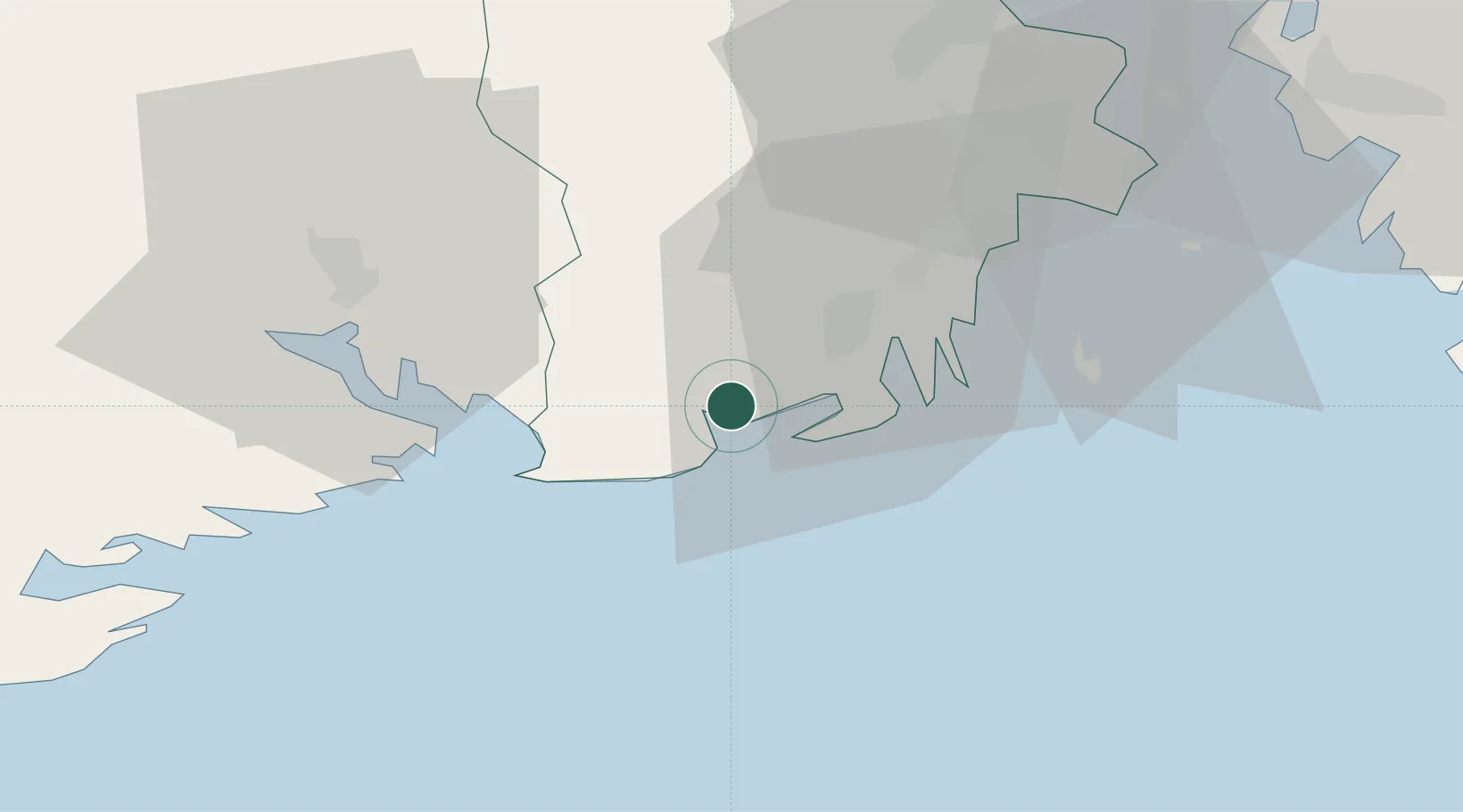
Larvik
59.0390°, 10.0482°
23,113
Population
3
Transport functions
1
Container terminals
Transport Functions
Port
Rail
Road
Hub Profile
Place type
Provincial seat
Region
Vestfold
Population
23,113
Time zone
Europe/Oslo
Elevation
49 m
Logistics facilities
2
Container terminals
1
Location
Nearby Logistics Neighbours
Cities
- 1Stavern6 km
- 2Svartebukt13 km
- 3Thorøya13 km
- 4Sandefjord13 km
- 5Nevlunghamn13 km
Ports
- 1Sandefjorden13 km
- 2Brevik20 km
- 3Porsgrunn26 km
- 4Skien31 km
- 5Tonsberg32 km
Airports
- 1Sandefjord Airport, Torp20 km
- 2Skien Airport32 km
- 3Moss Airport, Rygge57 km
- 4Notodden Airport75 km
- 5Oslo-Gardermoen International Airport141 km
Trade Zones
DatabookThe Record of Consolidated Knowledge
Norway beyond logistics?