Transport Functions
Port
Hub Profile
Region
07
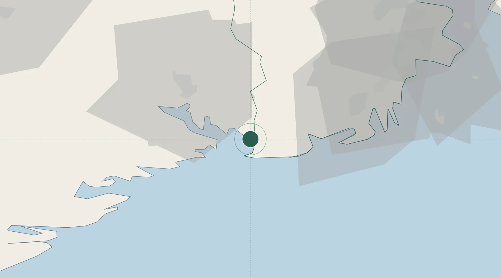
Location
Nearby Logistics Neighbours
Cities
- 1Skjerkøya5 km
- 2Nevlunghamn6 km
- 3Langesund6 km
- 4Stathelle8 km
- 5Brevik9 km
Ports
- 1Brevik9 km
- 2Larvik12 km
- 3Porsgrunn18 km
- 4Skien24 km
- 5Sandefjorden25 km
Airports
- 1Skien Airport24 km
- 2Sandefjord Airport, Torp31 km
- 3Moss Airport, Rygge68 km
- 4Notodden Airport70 km
- 5Kristiansand Airport136 km
Trade Zones
- 1Gothenburg Boundless Customs Warehouse186 km
- 2Jönköping Free Zone285 km
- 3Freeport of Copenhagen- Nordhavn403 km
- 4MTS Malmö Transport and Spedition427 km
- 5Freeport of Kiel521 km
DatabookThe Record of Consolidated Knowledge
Norway beyond logistics?