Channel & Berth Profile
Pilotage, Tugs & Services
Pilotage compulsoryYES
Pilotage advisableYES
Tug assistanceYES
Shore powerYES
Potable waterYES
MedicalYES
Facilities & Capabilities
Container—
Ro-Ro—
Liquid bulk—
Dry bulk—
Oil terminal—
Break bulk—
Dry dockNO
RepairsNO
Bunkering—
Rail linkYES
Dangerous cargo—
ISPS security—
Harbour Specifications
Harbour size
Small
Harbour type
River (Natural)
Shelter
Excellent
Water body
Skagerrak; North Atlantic Ocean
Tidal range
1 m
Overhead limit
Yes
Pilotage
Yes
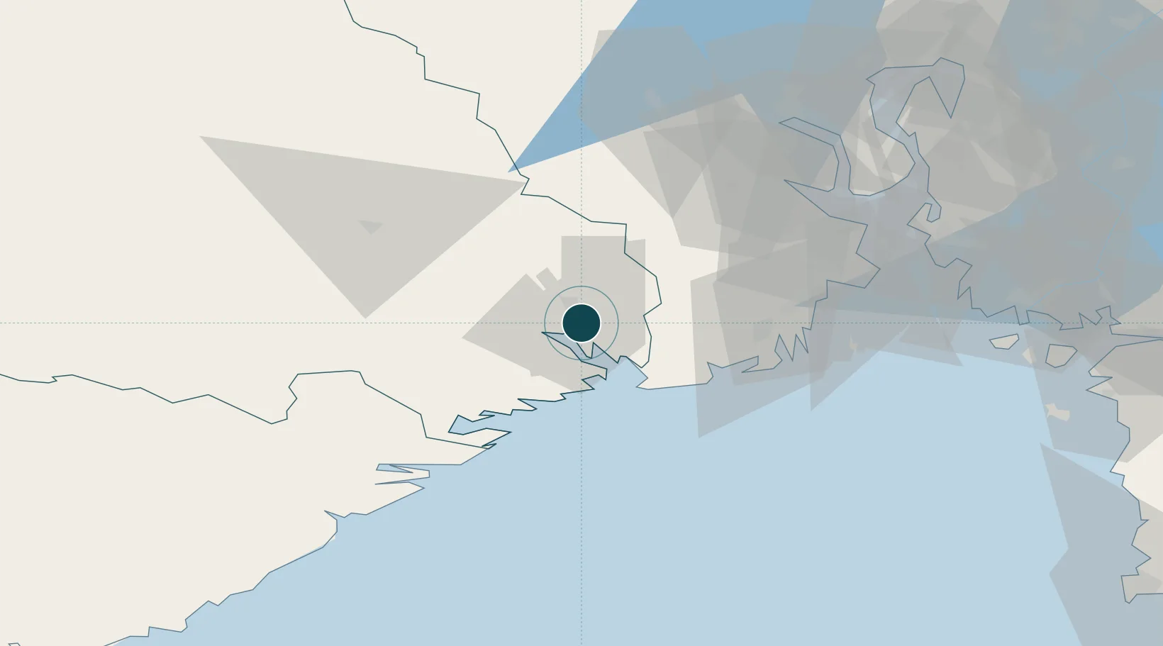
Location
Nearby Logistics Neighbours
Ports
- 1Skien7 km
- 2Brevik9 km
- 3Larvik25 km
- 4Sandefjorden34 km
- 5Kragero34 km
Airports
- 1Skien Airport7 km
- 2Sandefjord Airport, Torp35 km
- 3Notodden Airport53 km
- 4Moss Airport, Rygge69 km
- 5Kristiansand Airport139 km
Trade Zones
- 1Gothenburg Boundless Customs Warehouse204 km
- 2Jönköping Free Zone300 km
- 3Freeport of Copenhagen- Nordhavn420 km
- 4MTS Malmö Transport and Spedition444 km
- 5Freeport of Kiel536 km
DatabookThe Record of Consolidated Knowledge
Norway beyond logistics?