Transport Functions
Port
Hub Profile
Place type
Populated place
Region
Vestfold
Time zone
Europe/Oslo
Elevation
7 m
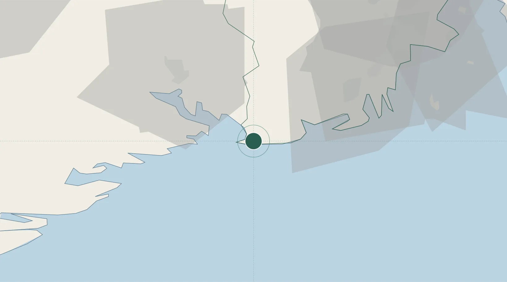
Location
Nearby Logistics Neighbours
Cities
- 1Svartebukt6 km
- 2Skjerkøya8 km
- 3Langesund9 km
- 4Stavern10 km
- 5Stathelle12 km
Ports
- 1Larvik12 km
- 2Brevik15 km
- 3Porsgrunn24 km
- 4Sandefjorden26 km
- 5Kragero29 km
Airports
- 1Skien Airport30 km
- 2Sandefjord Airport, Torp33 km
- 3Moss Airport, Rygge70 km
- 4Notodden Airport76 km
- 5Kristiansand Airport134 km
Trade Zones
- 1Gothenburg Boundless Customs Warehouse180 km
- 2Jönköping Free Zone280 km
- 3Freeport of Copenhagen- Nordhavn397 km
- 4MTS Malmö Transport and Spedition421 km
- 5Freeport of Kiel515 km
DatabookThe Record of Consolidated Knowledge
Norway beyond logistics?