Medium airport · Norway
Skien AirportENSN
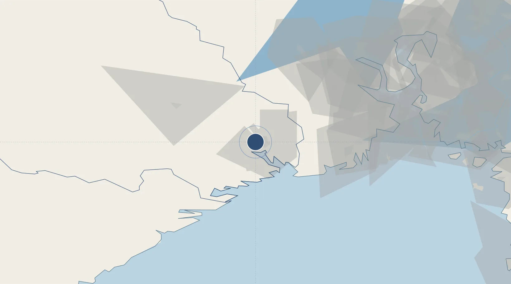
59.1850°, 9.5669°
4,596 ft
Longest runway
1
Runways
463 ft
Elevation
Runway & Layout

Radio Frequencies
APP
134.05 MHz
FARRIS APP
CTAF
119.2 MHz
Geiteryggen Traffic
Navaids
SKI VOR-DME Skien 113.60 MHz
Runways · 1
| Runway | Dimensions | Surface | True heading | Lit |
|---|---|---|---|---|
| 01/19 | 4,596 × 105ft | Asphalt | 009° | ✓ |
Airport Specifications
ICAO code
ENSN
Airport class
Medium airport
Scheduled service
No
Runway surface
Asphalt
Served city
Geiteryggen
Location
Nearby Logistics Neighbours
Airports
- 1Sandefjord Airport, Torp39 km
- 2Notodden Airport47 km
- 3Moss Airport, Rygge73 km
- 4Kristiansand Airport139 km
- 5Oslo-Gardermoen International Airport141 km
Trade Zones
- 1Gothenburg Boundless Customs Warehouse210 km
- 2Jönköping Free Zone307 km
- 3Freeport of Copenhagen- Nordhavn426 km
- 4MTS Malmö Transport and Spedition451 km
- 5Freeport of Kiel541 km
DatabookThe Record of Consolidated Knowledge
Norway beyond logistics?