Transport Functions
Port
Road
Hub Profile
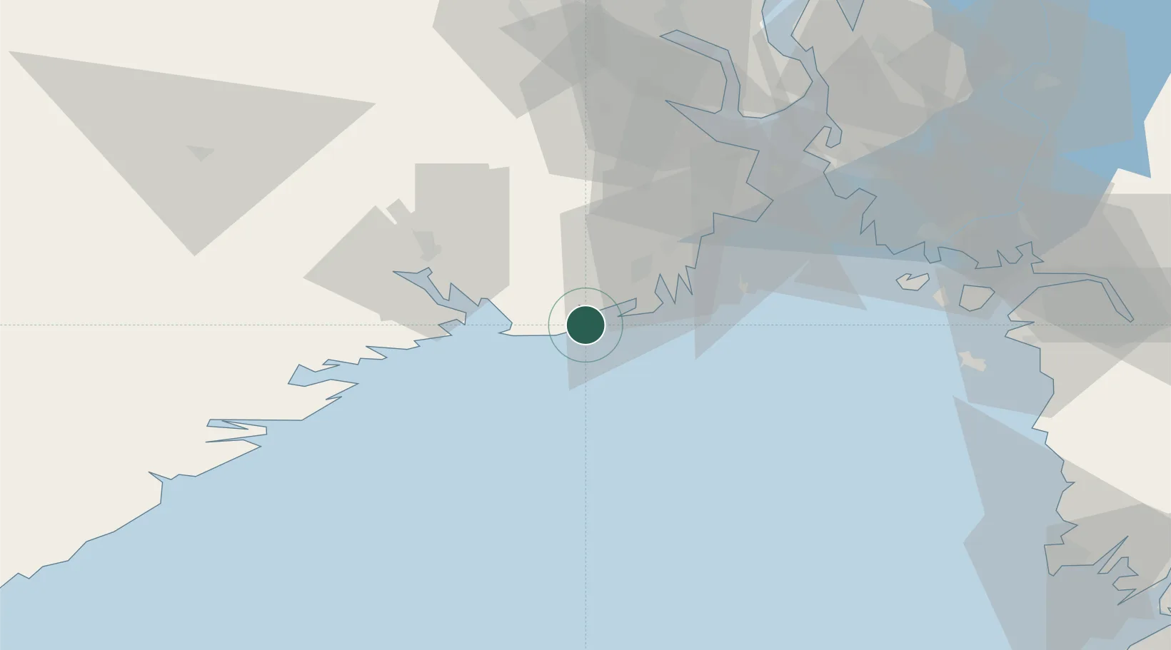
Place type
Populated place
Region
Vestfold
Population
5,902
Time zone
Europe/Oslo
Elevation
22 m
Location
Nearby Logistics Neighbours
Cities
- 1Larvik6 km
- 2Nevlunghamn10 km
- 3Svartebukt12 km
- 4Skjerkøya16 km
- 5Langesund17 km
Ports
- 1Larvik6 km
- 2Sandefjorden17 km
- 3Brevik21 km
- 4Porsgrunn28 km
- 5Skien34 km
Airports
- 1Sandefjord Airport, Torp26 km
- 2Skien Airport35 km
- 3Moss Airport, Rygge61 km
- 4Notodden Airport80 km
- 5Kristiansand Airport142 km
Trade Zones
DatabookThe Record of Consolidated Knowledge
Norway beyond logistics?