Channel & Berth Profile
Pilotage, Tugs & Services
Pilotage compulsoryYES
Facilities & Capabilities
ContainerNO
Ro-RoNO
Liquid bulkNO
Dry bulkNO
Oil terminal—
Break bulkYES
Dry dock—
Repairs—
Bunkering—
Rail link—
Dangerous cargo—
ISPS security—
Harbour Specifications
Harbour size
Very Small
Harbour type
Coastal (Natural)
Shelter
Fair
Water body
Norwegian Sea; North Atlantic Ocean
Overhead limit
No
Pilotage
Yes
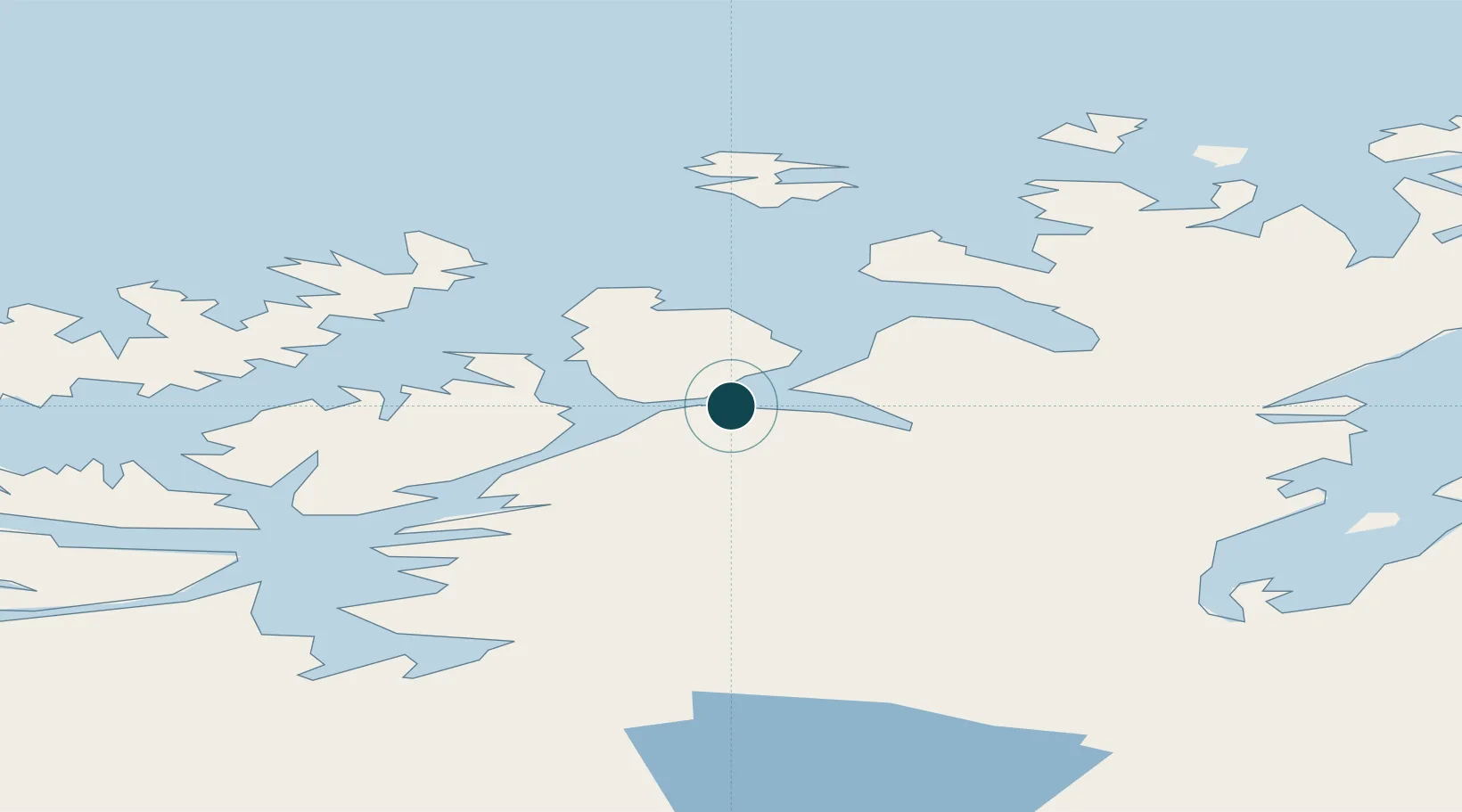
Location
Nearby Logistics Neighbours
Ports
- 1Hammerfest21 km
- 2Alta66 km
- 3Oksfjord68 km
- 4Sorvaer76 km
- 5Honningsvag89 km
Cities
- 1Repparfjord13 km
- 2Rypefjord18 km
- 3Hammerfest20 km
- 4Forsøl24 km
- 5Melkøya24 km
Airports
- 1Hammerfest Airport23 km
- 2Lakselv Airport, Banak61 km
- 3Alta Airport63 km
- 4Hasvik Airport69 km
- 5Honningsvåg Airport, Valan92 km
Trade Zones
- 1Murmansk Special Economic Zone390 km
- 2Oulu Port Free Warehouse Area616 km
- 3Free Zone of Lappeenranta1069 km
- 4Turku Free Zone1122 km
- 5Port of Hamina-Kotka1124 km
DatabookThe Record of Consolidated Knowledge
Norway beyond logistics?