Transport Functions
Port
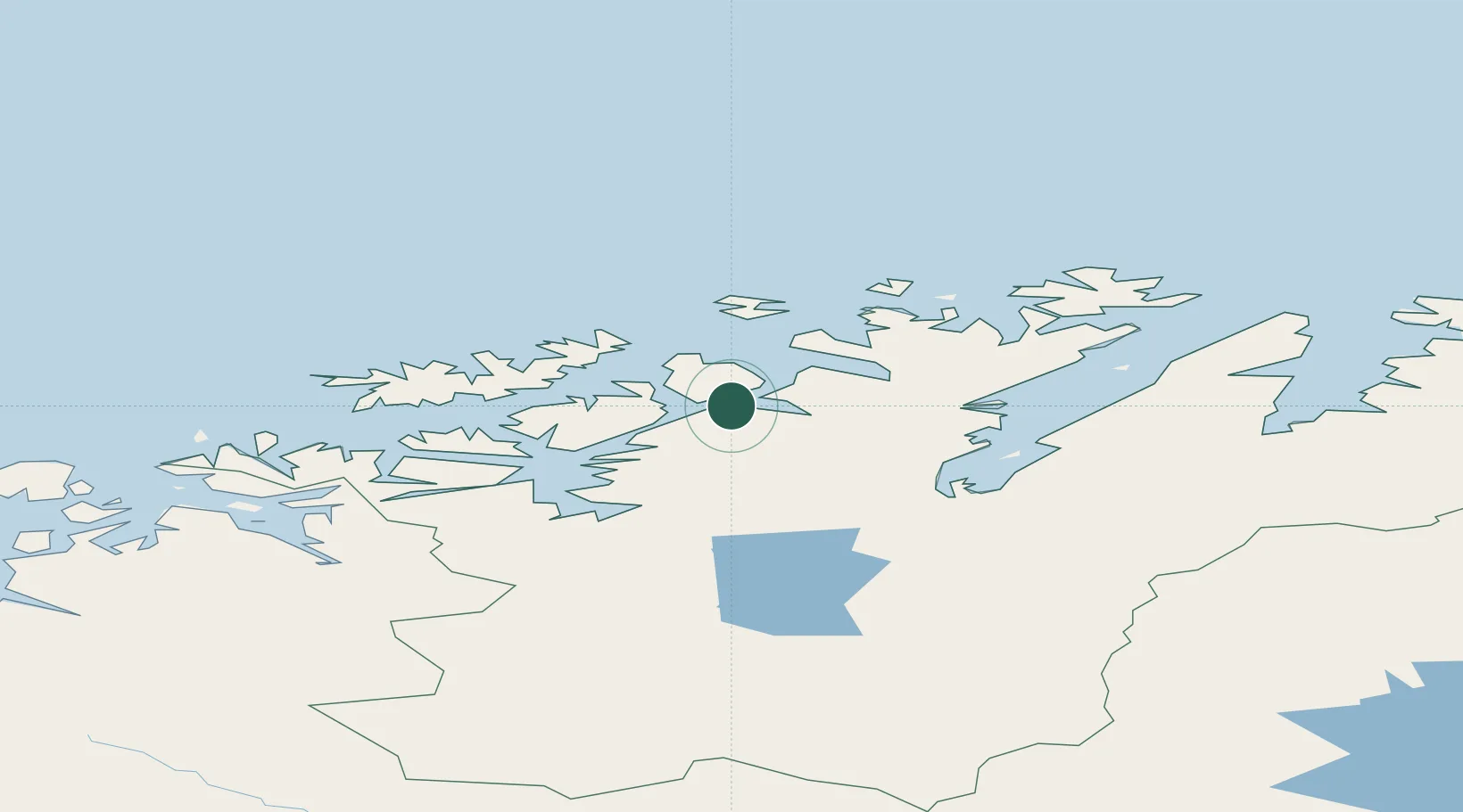
Hub Profile
Place type
Populated place
Region
Finnmark
Population
289
Time zone
Europe/Oslo
Elevation
1 m
Location
Nearby Logistics Neighbours
Cities
- 1Repparfjord13 km
- 2Rypefjord19 km
- 3Hammerfest20 km
- 4Melkøya25 km
- 5Forsøl25 km
Ports
- 1Hammerfest22 km
- 2Alta65 km
- 3Oksfjord67 km
- 4Sorvaer75 km
- 5Honningsvag90 km
Airports
- 1Hammerfest Airport23 km
- 2Lakselv Airport, Banak61 km
- 3Alta Airport62 km
- 4Hasvik Airport68 km
- 5Honningsvåg Airport, Valan93 km
Trade Zones
- 1Murmansk Special Economic Zone390 km
- 2Oulu Port Free Warehouse Area615 km
- 3Free Zone of Lappeenranta1068 km
- 4Turku Free Zone1121 km
- 5Port of Hamina-Kotka1123 km
DatabookThe Record of Consolidated Knowledge
Norway beyond logistics?