Transport Functions
Port
Road
Airport
Hub Profile
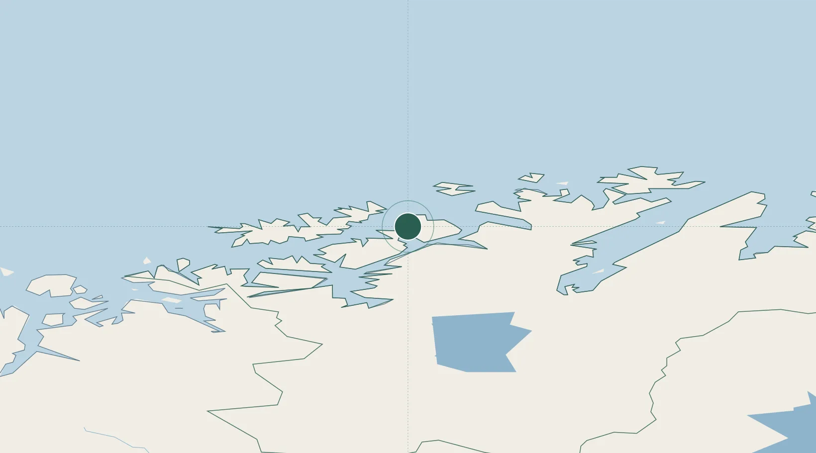
Place type
Provincial seat
Region
Finnmark
Population
11,448
Time zone
Europe/Oslo
Elevation
40 m
Location
Nearby Logistics Neighbours
Cities
- 1Rypefjord2 km
- 2Melkøya4 km
- 3Forsøl9 km
- 4Akkarfjord17 km
- 5Kvalsund20 km
Ports
- 1Kvalsund20 km
- 2Sorvaer63 km
- 3Oksfjord67 km
- 4Alta77 km
- 5Honningsvag91 km
Airports
- 1Hammerfest Airport3 km
- 2Hasvik Airport59 km
- 3Alta Airport76 km
- 4Lakselv Airport, Banak81 km
- 5Honningsvåg Airport, Valan94 km
Trade Zones
- 1Murmansk Special Economic Zone407 km
- 2Oulu Port Free Warehouse Area633 km
- 3Free Zone of Lappeenranta1087 km
- 4Turku Free Zone1137 km
- 5Port of Hamina-Kotka1142 km
DatabookThe Record of Consolidated Knowledge
Norway beyond logistics?