Transport Functions
Port
Road
Hub Profile
Place type
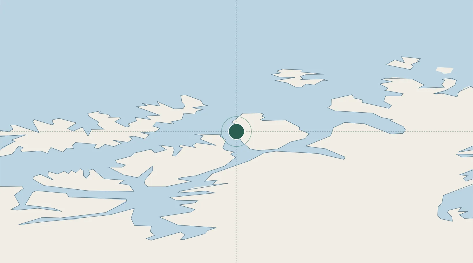
Populated place
Region
Finnmark
Population
1,731
Time zone
Europe/Oslo
Elevation
30 m
Location
Nearby Logistics Neighbours
Cities
- 1Hammerfest2 km
- 2Melkøya6 km
- 3Forsøl11 km
- 4Akkarfjord19 km
- 5Kvalsund19 km
Ports
- 1Hammerfest4 km
- 2Kvalsund18 km
- 3Sorvaer63 km
- 4Oksfjord66 km
- 5Alta75 km
Airports
- 1Hammerfest Airport5 km
- 2Hasvik Airport59 km
- 3Alta Airport74 km
- 4Lakselv Airport, Banak80 km
- 5Honningsvåg Airport, Valan94 km
Trade Zones
- 1Murmansk Special Economic Zone406 km
- 2Oulu Port Free Warehouse Area631 km
- 3Free Zone of Lappeenranta1085 km
- 4Turku Free Zone1135 km
- 5Port of Hamina-Kotka1140 km
DatabookThe Record of Consolidated Knowledge
Norway beyond logistics?