UN/LOCODE hub · Norway
NOFSL

Forsøl

70.7167°, 23.8167°
1
Transport functions

Transport Functions

Port
UN/LOCODE

Hub Profile

Region
20
GeoNames

Location

Location of NOFSL
Natural Earth 10m (public domain) · 20 · NOFSL · 70.72, 23.82GoogleOSMYandex

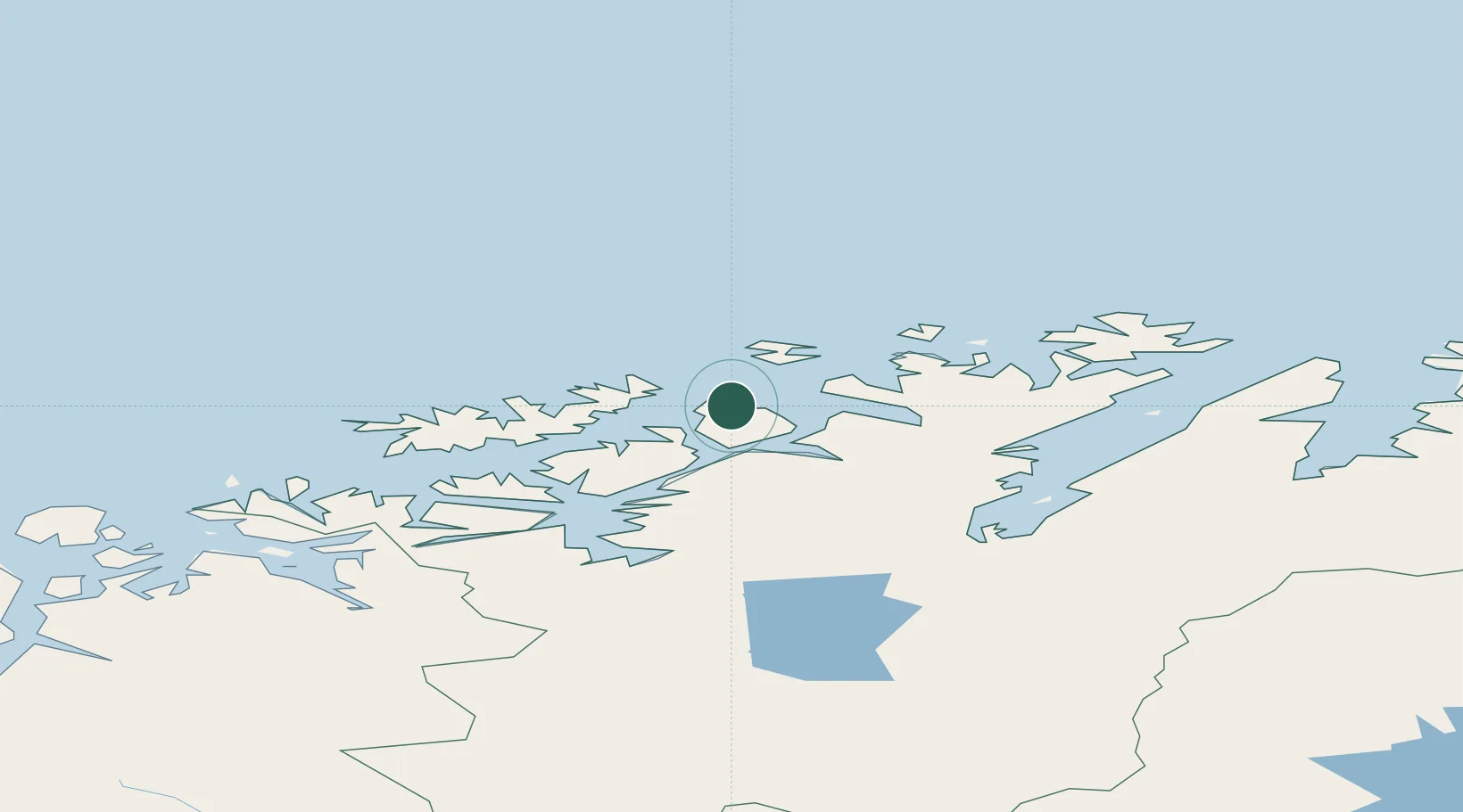
Nearby Logistics Neighbours

Cities
  1. 1Melkøya9 km
  2. 2Hammerfest9 km
  3. 3Rypefjord11 km
  4. 4Akkarfjord15 km
  5. 5Kvalsund25 km
Nearest neighbours — logibook spatial index (haversine) over the source coordinates
Ports
  1. 1Hammerfest8 km
  2. 2Kvalsund24 km
  3. 3Sorvaer69 km
  4. 4Oksfjord77 km
  5. 5Honningsvag83 km
Nearest neighbours — logibook spatial index (haversine) over the source coordinates
Airports
  1. 1Hammerfest Airport7 km
  2. 2Hasvik Airport67 km
  3. 3Lakselv Airport, Banak84 km
  4. 4Alta Airport84 km
  5. 5Honningsvåg Airport, Valan85 km
Nearest neighbours — logibook spatial index (haversine) over the source coordinates
Trade Zones
  1. 1Murmansk Special Economic Zone405 km
  2. 2Oulu Port Free Warehouse Area640 km
  3. 3Free Zone of Lappeenranta1093 km
  4. 4Turku Free Zone1145 km
  5. 5Port of Hamina-Kotka1148 km
Nearest neighbours — logibook spatial index (haversine) over the source coordinates
DatabookThe Record of Consolidated Knowledge
Norway beyond logistics?
Browse databook

All Sources

LocationsUN/LOCODE
UN/LOCODE — free
Portsthe NGA World Port Index
Public domain (US gov)
AirportsOurAirports
Public domain
Trade Zonesthe World Bank SEZ database
CC BY 4.0
Trade ZonesOpen Zone Map
CC BY
← Norway locations