Channel & Berth Profile
Pilotage, Tugs & Services
Pilotage compulsoryYES
Potable waterYES
Diesel bunkersYES
MedicalYES
Garbage disposalYES
Facilities & Capabilities
ContainerYES
Ro-RoNO
Liquid bulkNO
Dry bulkYES
Oil terminal—
Break bulkYES
Dry dock—
Repairs—
Bunkering—
Rail link—
Dangerous cargo—
ISPS security—
Harbour Specifications
Harbour size
Very Small
Harbour type
Coastal (Natural)
Shelter
Good
Water body
Norwegian Sea; North Atlantic Ocean
Tidal range
3 m
Overhead limit
No
Pilotage
Yes
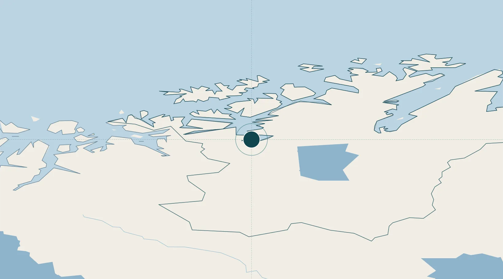
Location
Nearby Logistics Neighbours
Ports
- 1Oksfjord44 km
- 2Kvalsund66 km
- 3Hammerfest79 km
- 4Sorvaer87 km
- 5Honningsvag151 km
Cities
- 1Stjernøya41 km
- 2Øksfjord45 km
- 3Burfjord45 km
- 4Bergsfjord63 km
- 5Hummelvik63 km
Airports
- 1Alta Airport5 km
- 2Lakselv Airport, Banak67 km
- 3Hasvik Airport70 km
- 4Hammerfest Airport80 km
- 5Sørkjosen Airport90 km
Trade Zones
- 1Murmansk Special Economic Zone400 km
- 2Oulu Port Free Warehouse Area561 km
- 3Free Zone of Lappeenranta1018 km
- 4Turku Free Zone1061 km
- 5Port of Hamina-Kotka1070 km
DatabookThe Record of Consolidated Knowledge
Norway beyond logistics?