Transport Functions
Port
Hub Profile
Region
20
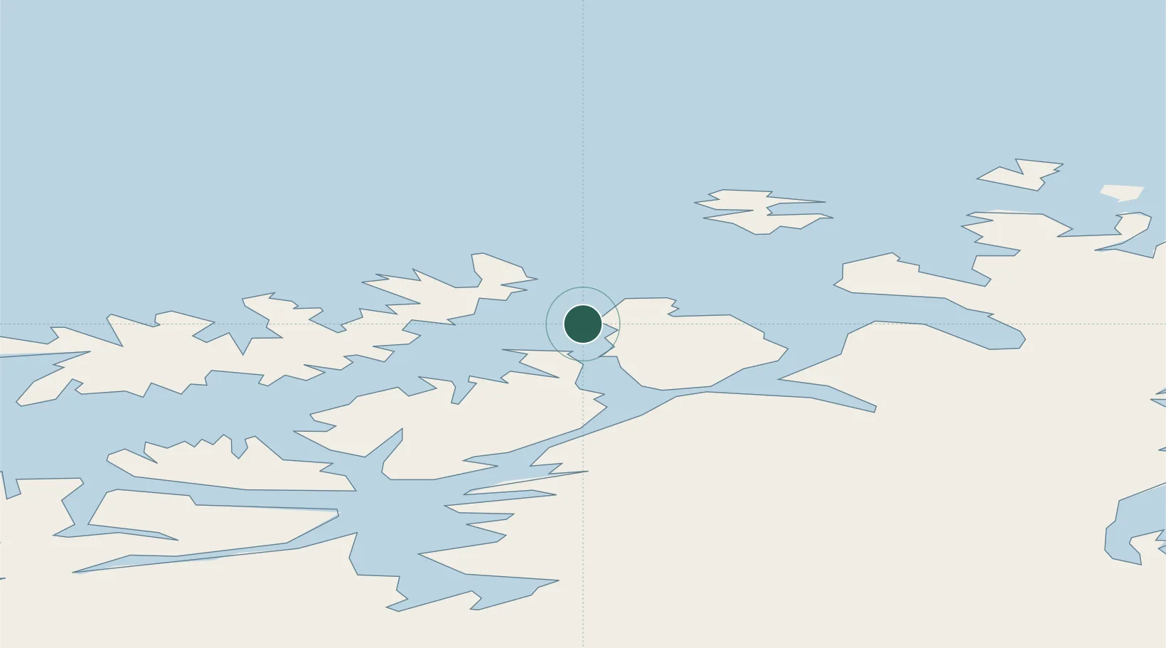
Location
Nearby Logistics Neighbours
Cities
- 1Hammerfest4 km
- 2Rypefjord6 km
- 3Forsøl9 km
- 4Akkarfjord12 km
- 5Kårhamn22 km
Ports
- 1Hammerfest3 km
- 2Kvalsund24 km
- 3Sorvaer61 km
- 4Oksfjord68 km
- 5Alta80 km
Airports
- 1Hammerfest Airport3 km
- 2Hasvik Airport58 km
- 3Alta Airport79 km
- 4Lakselv Airport, Banak85 km
- 5Honningsvåg Airport, Valan94 km
Trade Zones
- 1Murmansk Special Economic Zone411 km
- 2Oulu Port Free Warehouse Area637 km
- 3Free Zone of Lappeenranta1091 km
- 4Turku Free Zone1140 km
- 5Port of Hamina-Kotka1146 km
DatabookThe Record of Consolidated Knowledge
Norway beyond logistics?