Channel & Berth Profile
Pilotage, Tugs & Services
Pilotage compulsoryYES
Pilotage availableYES
Pilotage advisableNO
Local assistanceNO
Tug assistanceYES
Potable waterYES
MedicalYES
Garbage disposalYES
Facilities & Capabilities
ContainerYES
Ro-RoYES
Liquid bulkYES
Dry bulkYES
Oil terminal—
Break bulkYES
Dry dock—
RepairsNO
BunkeringYES
Rail link—
Dangerous cargo—
ISPS security—
Harbour Specifications
Harbour size
Medium
Harbour type
Coastal (Natural)
Shelter
Good
Water body
Norwegian Sea; North Atlantic Ocean
Tidal range
3 m
Overhead limit
No
Pilotage
Yes
Liner Connectivity
13.8
PLSCI
Port Liner Shipping Connectivity Index for Hammerfest, as published by UNCTAD for the latest available quarter. Higher values indicate stronger scheduled liner-shipping integration.
Shown relative to the highest per-port PLSCI in the dataset (1,657.9).
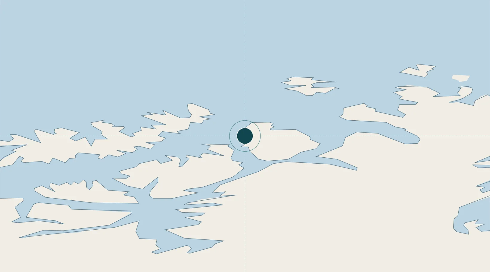
Location
Nearby Logistics Neighbours
Ports
- 1Kvalsund21 km
- 2Sorvaer63 km
- 3Oksfjord69 km
- 4Alta79 km
- 5Honningsvag91 km
Cities
- 1Melkøya3 km
- 2Rypefjord4 km
- 3Forsøl8 km
- 4Akkarfjord15 km
- 5Kvalsund22 km
Airports
- 1Hammerfest Airport2 km
- 2Hasvik Airport60 km
- 3Alta Airport78 km
- 4Lakselv Airport, Banak83 km
- 5Honningsvåg Airport, Valan93 km
Trade Zones
- 1Murmansk Special Economic Zone408 km
- 2Oulu Port Free Warehouse Area635 km
- 3Free Zone of Lappeenranta1089 km
- 4Turku Free Zone1139 km
- 5Port of Hamina-Kotka1143 km
DatabookThe Record of Consolidated Knowledge
Norway beyond logistics?