Transport Functions
Port
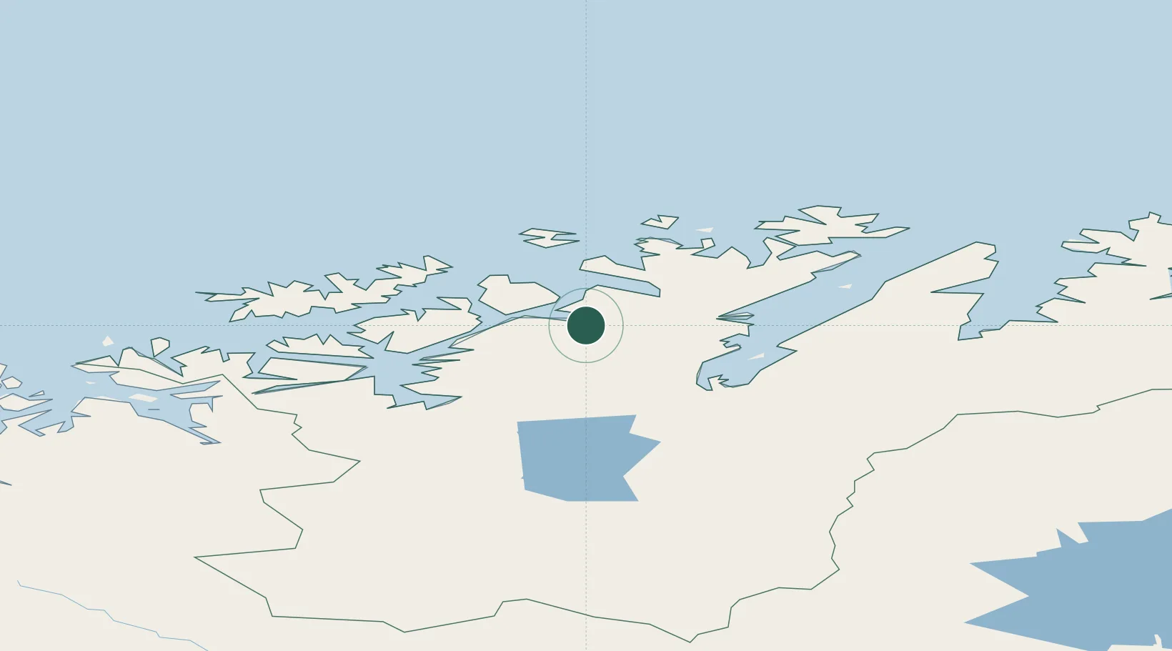
Hub Profile
Place type
Populated place
Region
Finnmark
Time zone
Europe/Oslo
Elevation
173 m
Location
Nearby Logistics Neighbours
Cities
- 1Kvalsund13 km
- 2Rypefjord31 km
- 3Hammerfest32 km
- 4Forsøl34 km
- 5Melkøya36 km
Ports
- 1Kvalsund13 km
- 2Hammerfest33 km
- 3Alta66 km
- 4Oksfjord76 km
- 5Honningsvag85 km
Airports
- 1Hammerfest Airport34 km
- 2Lakselv Airport, Banak50 km
- 3Alta Airport63 km
- 4Hasvik Airport80 km
- 5Honningsvåg Airport, Valan88 km
Trade Zones
- 1Murmansk Special Economic Zone377 km
- 2Oulu Port Free Warehouse Area608 km
- 3Free Zone of Lappeenranta1060 km
- 4Port of Hamina-Kotka1116 km
- 5Turku Free Zone1117 km
DatabookThe Record of Consolidated Knowledge
Norway beyond logistics?