Channel & Berth Profile
Pilotage, Tugs & Services
Pilotage availableYES
Tug assistanceNO
Salvage tugsNO
Facilities & Capabilities
Container—
Ro-Ro—
Liquid bulk—
Dry bulk—
Oil terminal—
Break bulk—
Dry dock—
Repairs—
Bunkering—
Rail link—
Dangerous cargo—
ISPS security—
Harbour Specifications
Harbour size
Very Small
Harbour type
Coastal (Breakwater)
Shelter
Good
Water body
North Sea; North Atlantic Ocean
Overhead limit
Yes
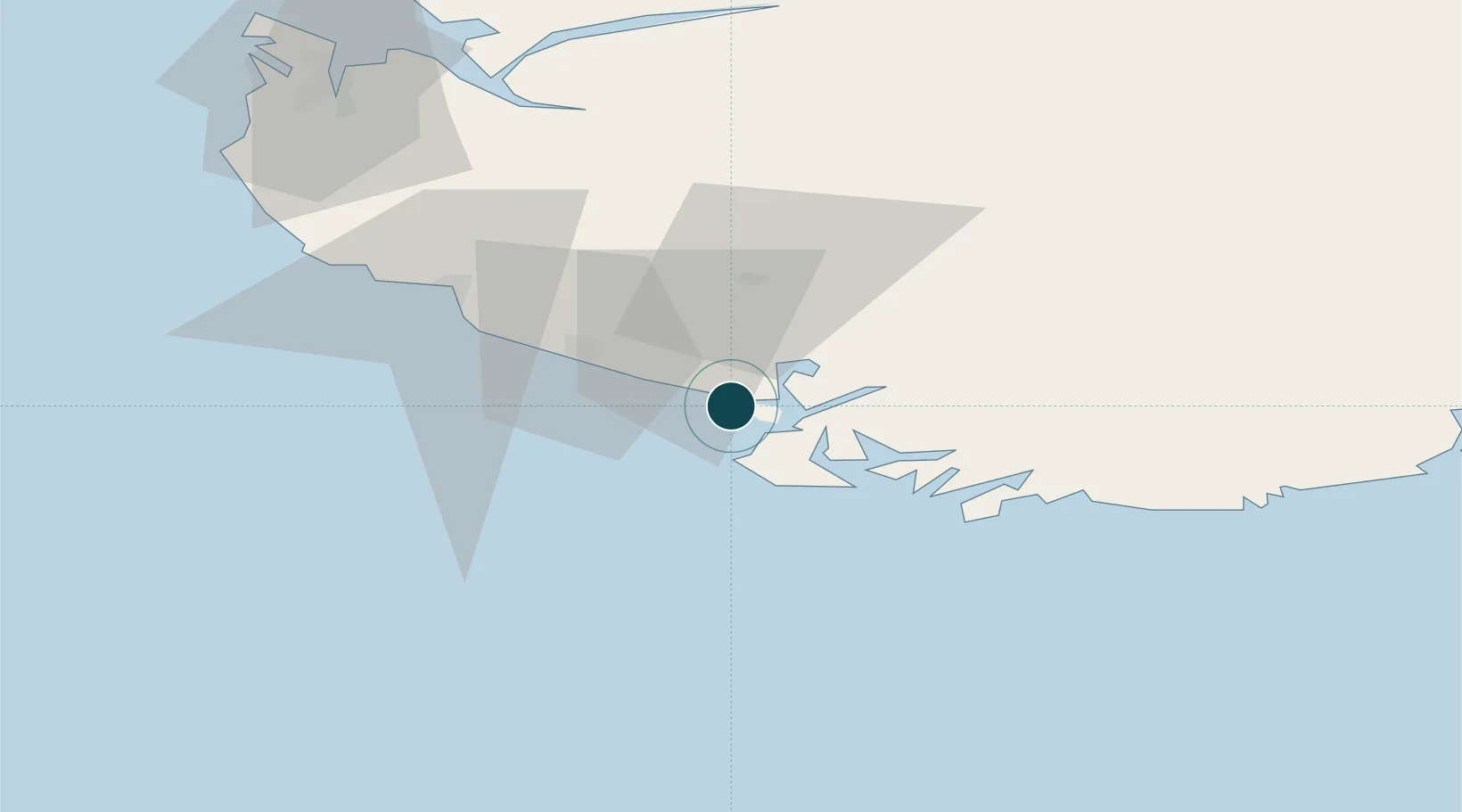
Location
Nearby Logistics Neighbours
Ports
- 1Flekkefjorden8 km
- 2Jossingfjord15 km
- 3Rekefjord19 km
- 4Farsund23 km
- 5Egersund39 km
Cities
- 1Abelnes8 km
- 2Flekkefjord9 km
- 3Jøssingfjord14 km
- 4Rekefjord20 km
- 5Farsund23 km
Airports
- 1Stavanger Airport, Sola88 km
- 2Kristiansand Airport91 km
- 3Haugesund Airport, Karmøy145 km
- 4Thisted Airport183 km
- 5Stord Airport, Sørstokken186 km
Trade Zones
- 1Gothenburg Boundless Customs Warehouse317 km
- 2Jönköping Free Zone449 km
- 3Freeport of Copenhagen- Nordhavn462 km
- 4Freeport of Kiel488 km
- 5MTS Malmö Transport and Spedition494 km
DatabookThe Record of Consolidated Knowledge
Norway beyond logistics?