Transport Functions
Port
Road
Hub Profile
Place type
Populated place
Region
Agder
Time zone
Europe/Oslo
Elevation
8 m
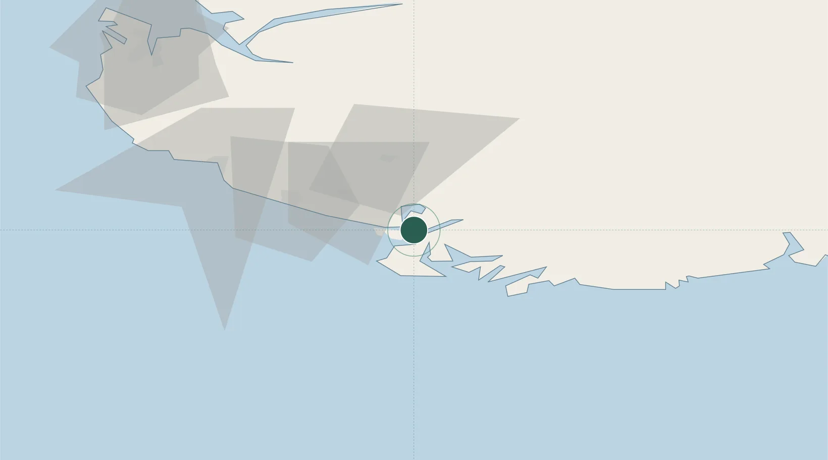
Location
Nearby Logistics Neighbours
Cities
- 1Flekkefjord6 km
- 2Kirkehamn8 km
- 3Farsund18 km
- 4Jøssingfjord21 km
- 5Agnefest25 km
Ports
- 1Flekkefjorden4 km
- 2Kirkehamn8 km
- 3Farsund18 km
- 4Jossingfjord22 km
- 5Rekefjord26 km
Airports
- 1Kristiansand Airport83 km
- 2Stavanger Airport, Sola93 km
- 3Haugesund Airport, Karmøy150 km
- 4Thisted Airport177 km
- 5Stord Airport, Sørstokken189 km
Trade Zones
- 1Gothenburg Boundless Customs Warehouse309 km
- 2Jönköping Free Zone441 km
- 3Freeport of Copenhagen- Nordhavn456 km
- 4Freeport of Kiel484 km
- 5MTS Malmö Transport and Spedition487 km
DatabookThe Record of Consolidated Knowledge
Norway beyond logistics?