Channel & Berth Profile
Pilotage, Tugs & Services
Pilotage compulsoryYES
Pilotage availableYES
Tug assistanceYES
Potable waterYES
Diesel bunkersYES
MedicalYES
Facilities & Capabilities
ContainerNO
Ro-RoYES
Liquid bulkYES
Dry bulkYES
Oil terminal—
Break bulkYES
Dry dock—
RepairsNO
Bunkering—
Rail link—
Dangerous cargo—
ISPS security—
Harbour Specifications
Harbour size
Very Small
Harbour type
Coastal (Natural)
Shelter
Good
Water body
North Sea; North Atlantic Ocean
Overhead limit
Yes
Pilotage
Yes
Liner Connectivity
12.1
PLSCI
Port Liner Shipping Connectivity Index for Farsund, as published by UNCTAD for the latest available quarter. Higher values indicate stronger scheduled liner-shipping integration.
Shown relative to the highest per-port PLSCI in the dataset (1,657.9).
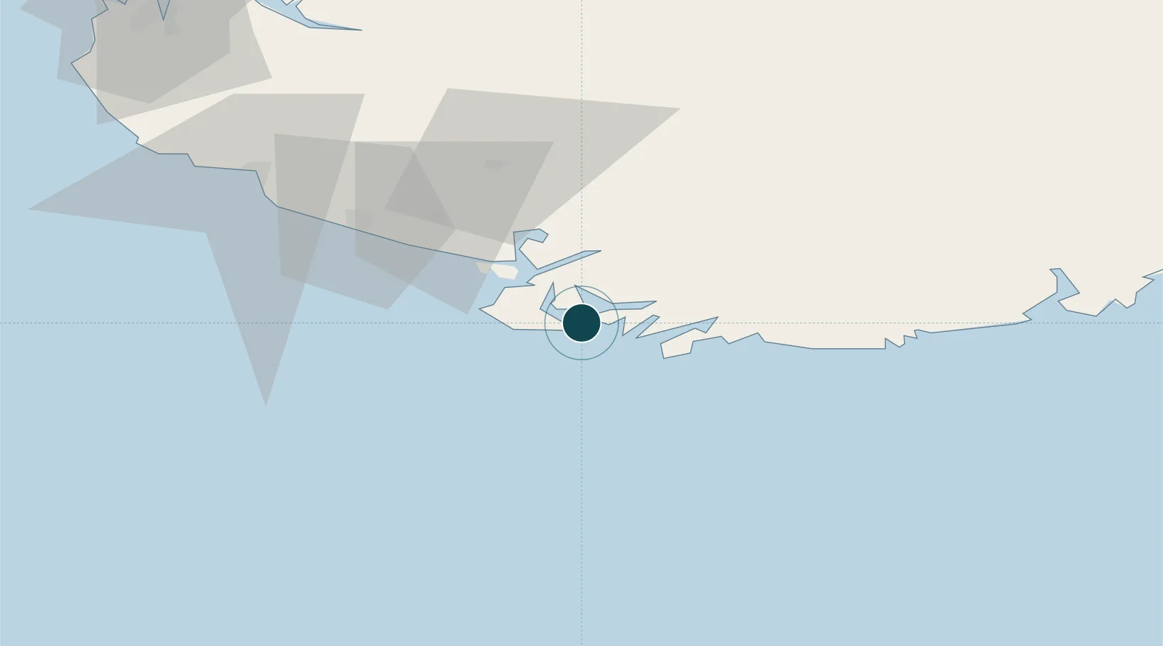
Location
Nearby Logistics Neighbours
Ports
- 1Flekkefjorden22 km
- 2Kirkehamn23 km
- 3Jossingfjord37 km
- 4Mandal40 km
- 5Rekefjord41 km
Cities
- 1Hausvikstrand12 km
- 2Agnefest14 km
- 3Abelnes18 km
- 4Båly22 km
- 5Kirkehamn23 km
Airports
- 1Kristiansand Airport77 km
- 2Stavanger Airport, Sola111 km
- 3Thisted Airport160 km
- 4Haugesund Airport, Karmøy168 km
- 5Skien Airport202 km
Trade Zones
- 1Gothenburg Boundless Customs Warehouse299 km
- 2Jönköping Free Zone432 km
- 3Freeport of Copenhagen- Nordhavn440 km
- 4Freeport of Kiel466 km
- 5MTS Malmö Transport and Spedition472 km
DatabookThe Record of Consolidated Knowledge
Norway beyond logistics?