Transport Functions
Port
Rail
Road
Hub Profile
Place type
Provincial seat
Region
Agder
Population
9,048
Time zone
Europe/Oslo
Elevation
7 m
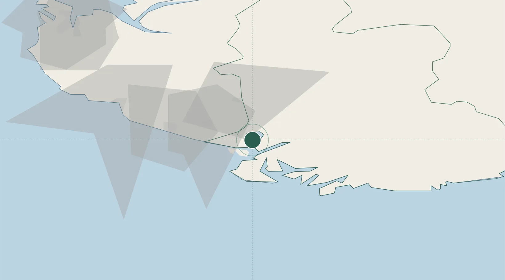
Location
Nearby Logistics Neighbours
Cities
- 1Abelnes6 km
- 2Kirkehamn9 km
- 3Jøssingfjord18 km
- 4Farsund24 km
- 5Rekefjord24 km
Ports
- 1Kirkehamn9 km
- 2Jossingfjord19 km
- 3Rekefjord23 km
- 4Farsund24 km
- 5Egersund42 km
Airports
- 1Kristiansand Airport85 km
- 2Stavanger Airport, Sola88 km
- 3Haugesund Airport, Karmøy144 km
- 4Thisted Airport182 km
- 5Stord Airport, Sørstokken184 km
Trade Zones
- 1Gothenburg Boundless Customs Warehouse311 km
- 2Jönköping Free Zone442 km
- 3Freeport of Copenhagen- Nordhavn460 km
- 4Freeport of Kiel490 km
- 5MTS Malmö Transport and Spedition491 km
DatabookThe Record of Consolidated Knowledge
Norway beyond logistics?