Transport Functions
Port
Road
Hub Profile
Place type
Populated place
Region
Rogaland
Time zone
Europe/Oslo
Elevation
15 m
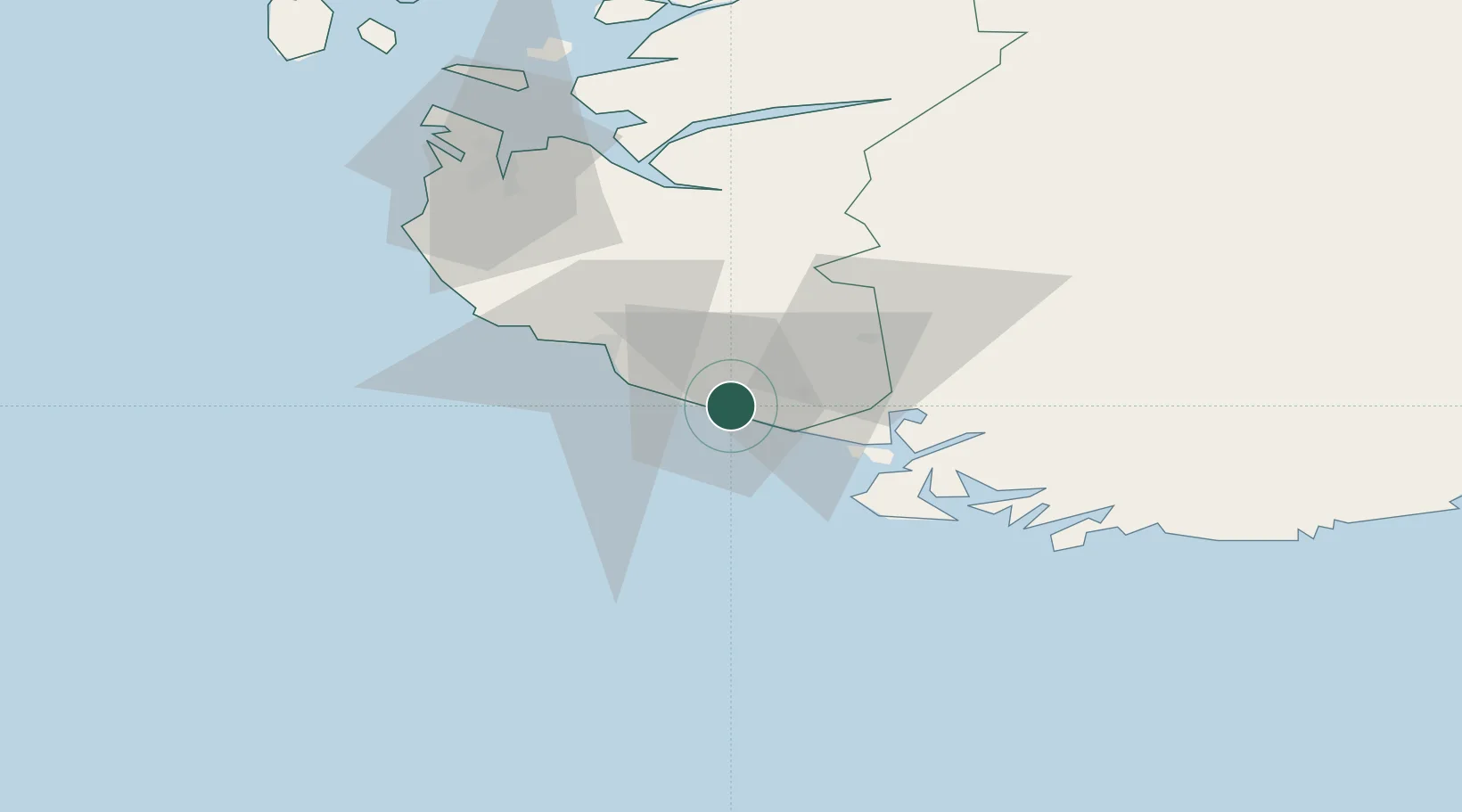
Location
Nearby Logistics Neighbours
Cities
- 1Jøssingfjord6 km
- 2Egersund20 km
- 3Kirkehamn20 km
- 4Flekkefjord24 km
- 5Helleland24 km
Ports
- 1Jossingfjord5 km
- 2Egersund19 km
- 3Kirkehamn20 km
- 4Flekkefjorden25 km
- 5Farsund42 km
Airports
- 1Stavanger Airport, Sola70 km
- 2Kristiansand Airport108 km
- 3Haugesund Airport, Karmøy128 km
- 4Stord Airport, Sørstokken170 km
- 5Thisted Airport203 km
Trade Zones
- 1Gothenburg Boundless Customs Warehouse335 km
- 2Jönköping Free Zone466 km
- 3Freeport of Copenhagen- Nordhavn482 km
- 4Freeport of Kiel506 km
- 5MTS Malmö Transport and Spedition514 km
DatabookThe Record of Consolidated Knowledge
Norway beyond logistics?