UN/LOCODE hub · Norway
NOJOS

Jøssingfjord

58.3167°, 6.3500°
1
Transport functions

Transport Functions

Port
Jøssingfjord is also a profiled seaport →
UN/LOCODE

Hub Profile

Region
11
GeoNames

Location

Location of NOJOS
Natural Earth 10m (public domain) · 11 · NOJOS · 58.32, 6.35GoogleOSMYandex

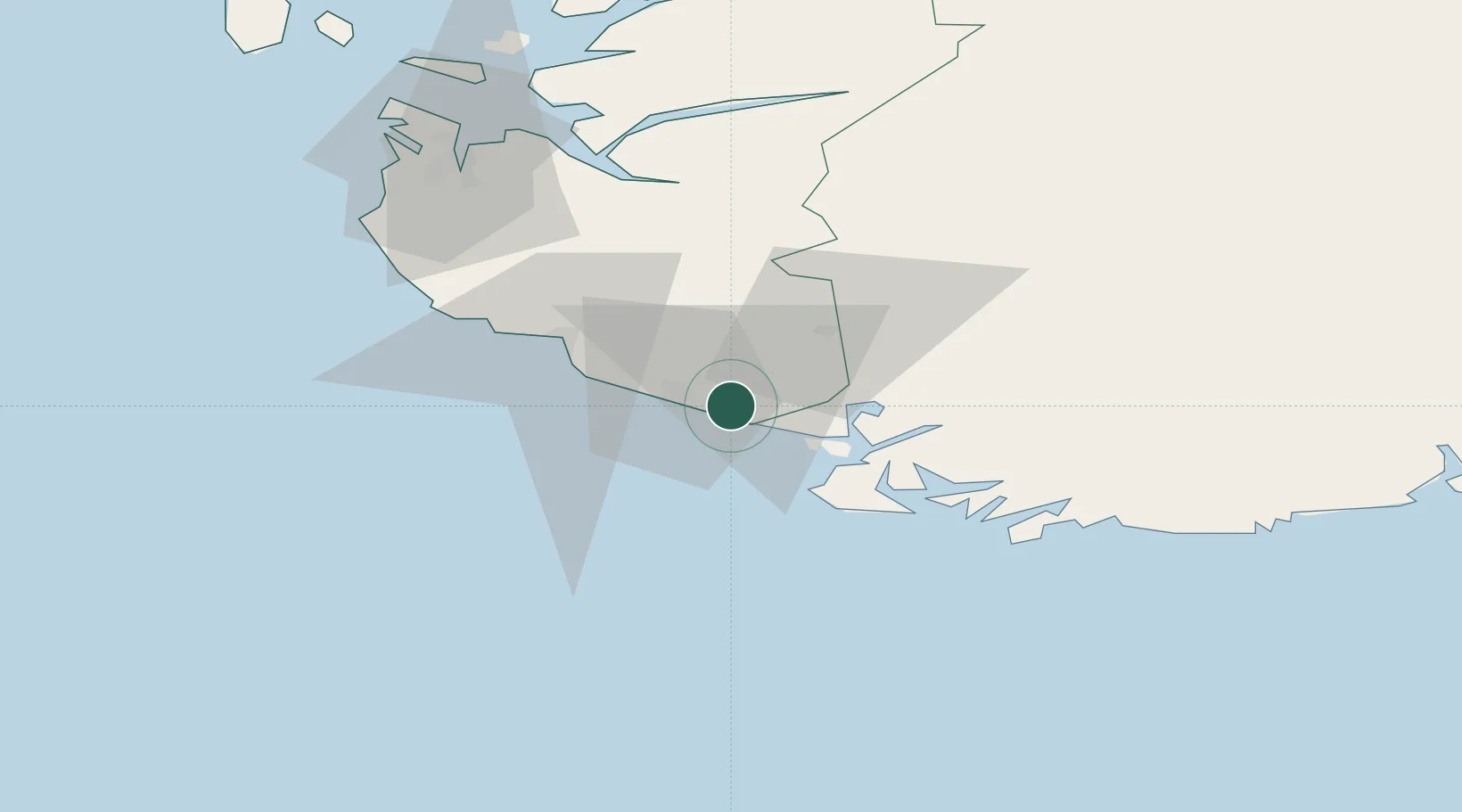
Nearby Logistics Neighbours

Cities
  1. 1Rekefjord6 km
  2. 2Kirkehamn14 km
  3. 3Flekkefjord18 km
  4. 4Abelnes21 km
  5. 5Egersund26 km
Nearest neighbours — logibook spatial index (haversine) over the source coordinates
Ports
  1. 1Rekefjord5 km
  2. 2Kirkehamn14 km
  3. 3Flekkefjorden19 km
  4. 4Egersund25 km
  5. 5Farsund37 km
Nearest neighbours — logibook spatial index (haversine) over the source coordinates
Airports
  1. 1Stavanger Airport, Sola75 km
  2. 2Kristiansand Airport102 km
  3. 3Haugesund Airport, Karmøy132 km
  4. 4Stord Airport, Sørstokken174 km
  5. 5Thisted Airport197 km
Nearest neighbours — logibook spatial index (haversine) over the source coordinates
Trade Zones
  1. 1Gothenburg Boundless Customs Warehouse329 km
  2. 2Jönköping Free Zone460 km
  3. 3Freeport of Copenhagen- Nordhavn476 km
  4. 4Freeport of Kiel502 km
  5. 5MTS Malmö Transport and Spedition508 km
Nearest neighbours — logibook spatial index (haversine) over the source coordinates
DatabookThe Record of Consolidated Knowledge
Norway beyond logistics?
Browse databook

All Sources

LocationsUN/LOCODE
UN/LOCODE — free
Portsthe NGA World Port Index
Public domain (US gov)
AirportsOurAirports
Public domain
Trade Zonesthe World Bank SEZ database
CC BY 4.0
Trade ZonesOpen Zone Map
CC BY
← Norway locations