Transport Functions
Port
Road
Airport
Hub Profile
Place type
Provincial seat
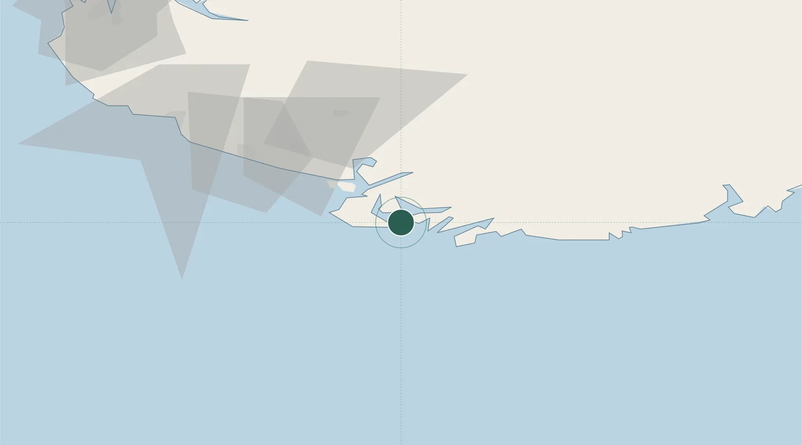
Region
Agder
Population
3,377
Time zone
Europe/Oslo
Elevation
5 m
Location
Nearby Logistics Neighbours
Cities
- 1Hausvikstrand12 km
- 2Agnefest14 km
- 3Abelnes18 km
- 4Båly21 km
- 5Kirkehamn23 km
Ports
- 1Flekkefjorden22 km
- 2Kirkehamn23 km
- 3Jossingfjord38 km
- 4Mandal40 km
- 5Rekefjord42 km
Airports
- 1Kristiansand Airport77 km
- 2Stavanger Airport, Sola111 km
- 3Thisted Airport160 km
- 4Haugesund Airport, Karmøy168 km
- 5Skien Airport202 km
Trade Zones
- 1Gothenburg Boundless Customs Warehouse299 km
- 2Jönköping Free Zone432 km
- 3Freeport of Copenhagen- Nordhavn440 km
- 4Freeport of Kiel466 km
- 5MTS Malmö Transport and Spedition471 km
DatabookThe Record of Consolidated Knowledge
Norway beyond logistics?