Transport Functions
Port
Hub Profile
Place type
Populated place
Region
Agder
Time zone
Europe/Oslo
Elevation
19 m
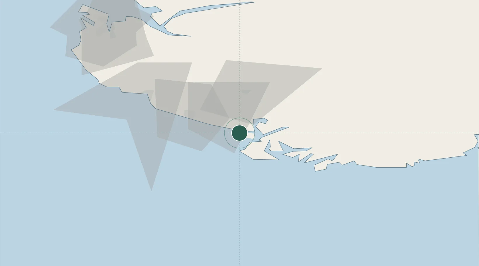
Location
Nearby Logistics Neighbours
Cities
- 1Abelnes8 km
- 2Flekkefjord9 km
- 3Jøssingfjord14 km
- 4Rekefjord20 km
- 5Farsund23 km
Ports
- 1Flekkefjorden8 km
- 2Jossingfjord15 km
- 3Rekefjord19 km
- 4Farsund23 km
- 5Egersund39 km
Airports
- 1Stavanger Airport, Sola88 km
- 2Kristiansand Airport91 km
- 3Haugesund Airport, Karmøy145 km
- 4Thisted Airport183 km
- 5Stord Airport, Sørstokken186 km
Trade Zones
- 1Gothenburg Boundless Customs Warehouse317 km
- 2Jönköping Free Zone448 km
- 3Freeport of Copenhagen- Nordhavn462 km
- 4Freeport of Kiel488 km
- 5MTS Malmö Transport and Spedition494 km
DatabookThe Record of Consolidated Knowledge
Norway beyond logistics?